Yamanashi east · OtsukiNo.120★Open in map →
Yatsuzawa Aqueduct
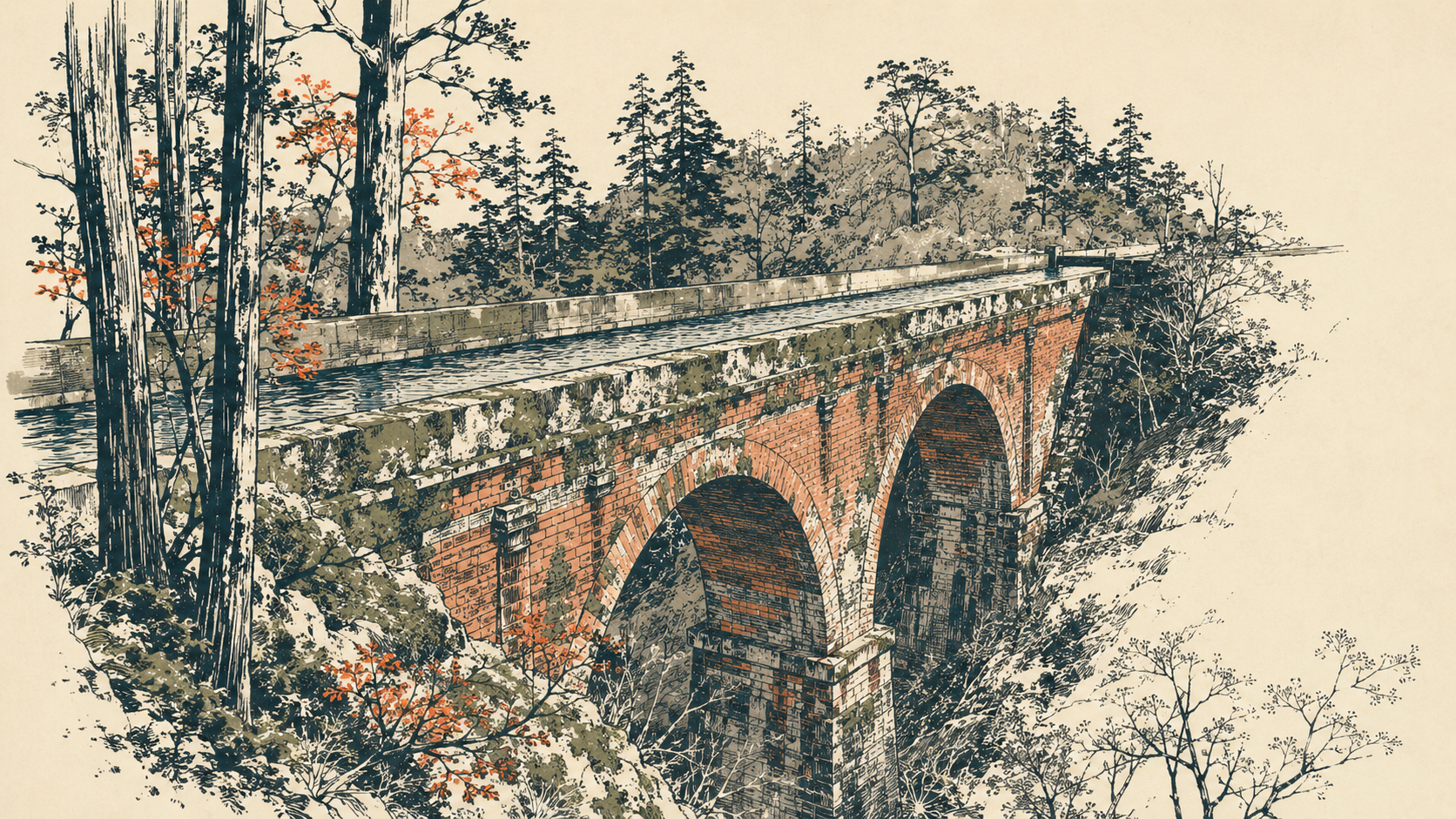
A reinforced-concrete aqueduct bridge with red-brick water gates near Otsuki — part of Japan's first large-scale reservoir-fed hydroelectric scheme, and a working piece of civil engineering for over a century.
- FromShinjuku Stn
- ~1 hr 20 mintrain + 15 min walk
- Get off atSaruhashi Stn (JR Chuo)
- From there
- Yatsuzawa Aqueduct
The sweet spot
It is infrastructure, not a scenic spot, and has almost no information in English, so foreign visitors rarely single it out. Most people who reach the Saruhashi bridge do not realise the historic aqueduct is right below it.
Where it is
18 more notes in Yamanashi · open the map →What to look for — in walking order
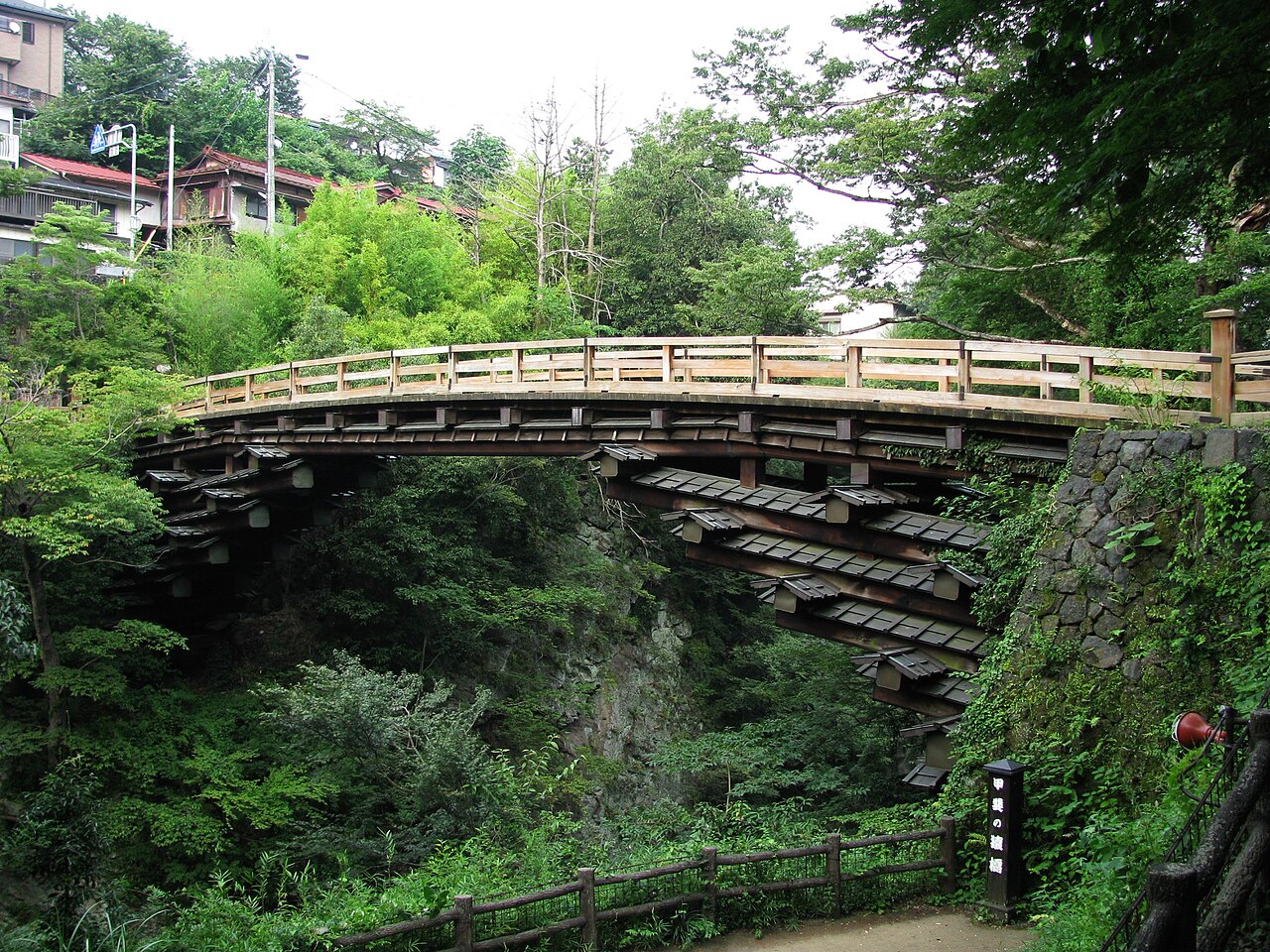
- Saruhashi bridgeone of Japan's three famous old bridges, right above the aqueduct
- Reinforced-concrete spanan early large-span concrete structure, about 64 m long and 5 m wide
- Red-brick water gatesbrickwork framing the gates at each end of the aqueduct
- Working power canalstill part of a live system feeding power stations along the Katsura River
How to actually get there
- Shinjuku → Otsuki (JR Chuo limited express Kaiji/Azusa, ~1 hr).
- Otsuki → Saruhashi (JR Chuo local train, ~5 min).
- Saruhashi station → Saruhashi bridge area on foot (~15 min).
- View the aqueduct from beside the bridge (outside viewing only).
- JR Chuo line to Saruhashi (via Otsuki)
- Shinjuku →(JR Chuo limited express Kaiji or Azusa, ~1 hr)→ Otsuki →(JR Chuo local train, ~5 min)→ Saruhashi. Total about 1 hr 15 min plus the transfer wait. Note: limited express trains do not stop at small Saruhashi, so change to a local train at Otsuki. You can also ride the local train the whole way from Shinjuku (~1 hr 30 min, no transfer).
- Return via Otsuki
- From Saruhashi take a local train back one stop to Otsuki, then a limited express or local train to Shinjuku. Trains run through the day but thin out in the evening, so check the return times posted at Saruhashi station when you arrive.
About the place
An aqueduct carries water rather than road traffic. This one, near the famous Saruhashi bridge in Otsuki, lets the Yatsuzawa power canal cross the Katsura River — the same river it draws from. The span is about 64 metres long, built in reinforced concrete with red-brick water gates at each end. It is not a scenic landmark but a live link in a canal system that still feeds a chain of power stations along the Katsura. For anyone drawn to Meiji-era industrial heritage, it is a quietly remarkable survivor.
How to enjoy it
The aqueduct sits just below the Saruhashi bridge, visible from the area beside it. Combine both in a single stop: Saruhashi is one of Japan's three famous old bridges, and the aqueduct is right underneath. Viewing is from the outside only — the operator (TEPCO) does not open the structure. It reads best as an industrial-heritage detour: a chance to see infrastructure that has been quietly doing its job for over a hundred years.
Background & history
The Tokyo Electric Light Company (predecessor of today's TEPCO) built the Yatsuzawa Power Station as its second hydroelectric project. The station came online in 1912 and was celebrated as the largest of its kind in East Asia at the time. The full network — intakes, tunnels, aqueducts and the Ono adjustment reservoir, about 14 km in all — was completed in 1914. In 2005 the entire facility was designated an Important Cultural Property.
Before you go
- Cash
- Nothing to pay to see the aqueduct; the station uses IC cards or cash.
- Good to know
- Live water channel and operator property. View from the outside only; do not climb the structure.
- Another way
- Combine it with the Saruhashi bridge right beside it, one of Japan's three famous old bridges.
- After you get off
- From Saruhashi station it is about a 15-minute walk to the Saruhashi bridge area, from where you can see the aqueduct below.
Nearby notes
 Aimaimyi / CC BY-SA 3.0
History · Yamanashi★
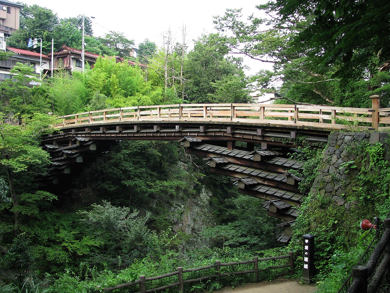
Saruhashi Bridge
0.1 km · straight line
 Σ64 / CC BY 3.0
History · Yamanashi★
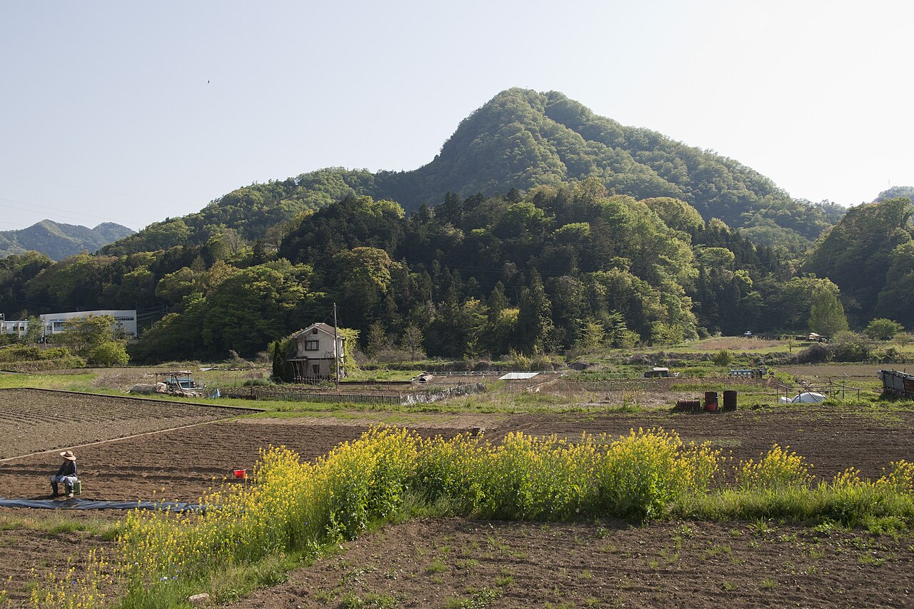
Mount Iwadono
3.0 km · straight line
 illustration (AI-illustrated)
Nature · Yamanashi★
Tokaichiba-Natsugari Springs & Taro-Jiro Falls
12.0 km · straight line
 ISAKA Yoji (cory) / CC BY-SA 3.0
Local life · Yamanashi★
Roadside Station Doshi
12.4 km · straight line
Distances are straight lines on the map, not travel times.