Kyoto · Keage / OkazakiNo.386★★Open in map →
Keage Incline
— the slope where boats were carried uphill
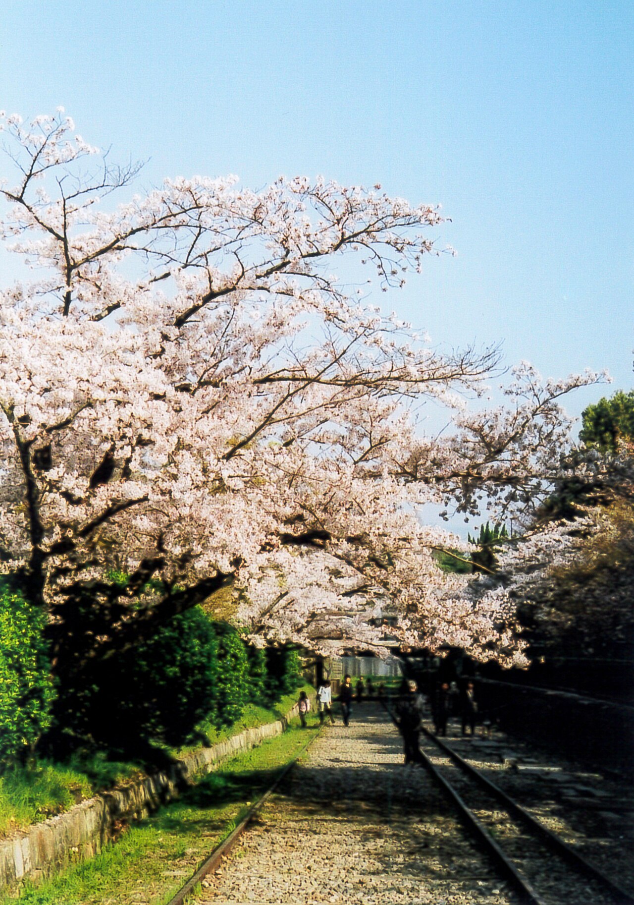
The preserved track bed of an 1891 inclined railway that carried canal boats over a 36-metre drop, now a free cherry-lined walkway beside Keage Station.
- FromKyoto Stn
- ~20 minMetro (frequent)
- Get off atKeage Station (Kyoto City Subway Tozai Line, T09)
- On foot
- Keage Incline
The sweet spot
Almost every first-rank cherry site in Kyoto is ticketed or has a closing time. This one has no gate, no ticket and no hours at all — which means dawn under the blossom is genuinely available here in a way it is not at Maruyama or Philosopher's Path. It is also two minutes from a subway exit, and you walk on the original 1891 rails rather than looking at them from behind a rope.
Where it is
90 more notes in Kyoto · open the map →What to look for — in walking order
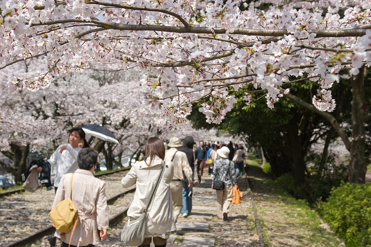
- The track bed itself582 metres of original rail and sleepers left in place on the slope; you walk on the railway, which is the whole point
- Boat and cradle displaya wooden canal boat sitting on its wheeled carriage on the rails, showing exactly how the transfer worked
- Nejirimampo tunnelan 1888 pedestrian underpass whose bricks spiral to take the diagonal load of the incline above — a small engineering set piece by the station
- Cherry rowstrees planted the length of both sides; in early April the slope closes over into a tunnel of blossom
How to actually get there
- Kyoto Stn → Karasuma Oike (Karasuma Line) → Keage Stn (Tozai Line, eastbound).
- Exit the station; the incline begins about 2 minutes away. Walk up the track bed between the cherry rows (~10 min end to end).
- Come back down through the Nejirimampo tunnel and continue 8 min to Nanzen-ji and its brick aqueduct.
- Kyoto Stn → Keage Station (subway, one change)
- Kyoto Stn →(Karasuma Line north, ~5 min)→ Karasuma Oike →(change to Tozai Line eastbound, ~8 min)→ Keage Stn (T09). Leave the station and the incline is immediately above you — the lower end of the slope is a two-minute walk from the exit. Total about 20 minutes. Trains run every few minutes.
- Back from Keage, or walk on to Nanzen-ji
- Return to Keage Station and take the Tozai Line west to Sanjo, Karasuma Oike or Kyoto Shiyakusho-mae. Better: walk through the Nejirimampo tunnel and continue eight minutes downhill to Nanzen-ji, then out through Okazaki to Higashiyama Station on the same line. Last trains run past midnight.
About the place
When Kyoto lost the imperial court to Tokyo in 1869 the city set about building its way back, and the largest of those projects was the Lake Biwa Canal — a waterway cut through the mountains from the lake in neighbouring Shiga to bring water, power and freight into the city. The canal worked, but between the Keage basin and the Nanzen-ji basin below it there was a drop of about 36 metres that no boat could descend. The answer was to take the boats out of the water. A 582-metre inclined railway was built, boats were lifted onto wheeled cradles, and cables lowered them down the slope and hauled them up again — the longest incline of its kind in the world when it opened in 1891. It ran until 1948, when road freight made it pointless, and then it was simply left. The rails are still bedded in the slope, a boat and its cradle sit on the track as a display, and the whole thing has become a walkway: you climb the sleepers themselves between two rows of cherry trees, with the brick works of the canal visible at either end.
How to enjoy it
Come at first light, especially in cherry season. There is no gate and no opening time, so dawn on the incline in early April is one of the few ways to have a first-rank Kyoto blossom site to yourself — by ten in the morning the same slope is a queue. Wear shoes with grip: the sleepers are spaced for rolling stock, not walking, and the ballast is loose. Then chain it downhill — through the Nejirimampo, eight minutes to Nanzen-ji and the 1890 aqueduct, and on into Okazaki for the museums or the Philosopher's Path. The whole sequence is one continuous piece of 1890s engineering, which is easier to feel walking it than reading about it.
Background & history
The Lake Biwa Canal was surveyed and driven through by Tanabe Sakuro, an engineer barely out of his twenties when the work began in 1885. It was Japan's largest civil engineering project of the era, executed almost entirely with domestic labour and expertise, and it powered Japan's first commercial hydroelectric station — which in turn ran the country's first electric streetcars in Kyoto. The incline opened in 1891 and closed in 1948. Around Keage Station the same works survive in other forms: the Nejirimampo, an 1888 pedestrian tunnel whose bricks were laid in a spiral so they could carry the diagonal load of the incline above, and the Suirokaku, the brick aqueduct that carries canal water straight through the grounds of Nanzen-ji ten minutes downhill. The canal system was designated a Japan Heritage site in 2020.
Before you go
- Cash
- Free. The incline is a public walkway with no gate, no ticket and no opening hours. IC cards (ICOCA, Suica, PiTaPa) work on the subway. The Lake Biwa Canal Museum nearby is also free; the seasonal canal boat rides between Otsu and Keage are a paid, separately booked experience.
- Good to know
- Open at all times, but the slope is uneven — you are walking on railway sleepers and ballast, not a path — and it is genuinely awkward in the dark or after rain. Early April brings the cherry blossom and with it very large crowds through the middle of the day; the same slope is nearly empty at dawn.
- Another way
- From Sanjo Keihan, walk underground to Sanjo Station and take the Tozai Line two stops east to Keage (about 4 minutes). City buses 5 and 100 from Kyoto Station stop at Jingu-michi and Okazaki, about 10 minutes' walk from the lower end.
- After you get off
- From Keage Station exit, the slope rises directly beside you; the Nejirimampo brick tunnel in the station plaza passes underneath the incline and leads toward Nanzen-ji.
Nearby notes
 Naokijp / CC BY-SA 4.0
History · Kyoto★★★
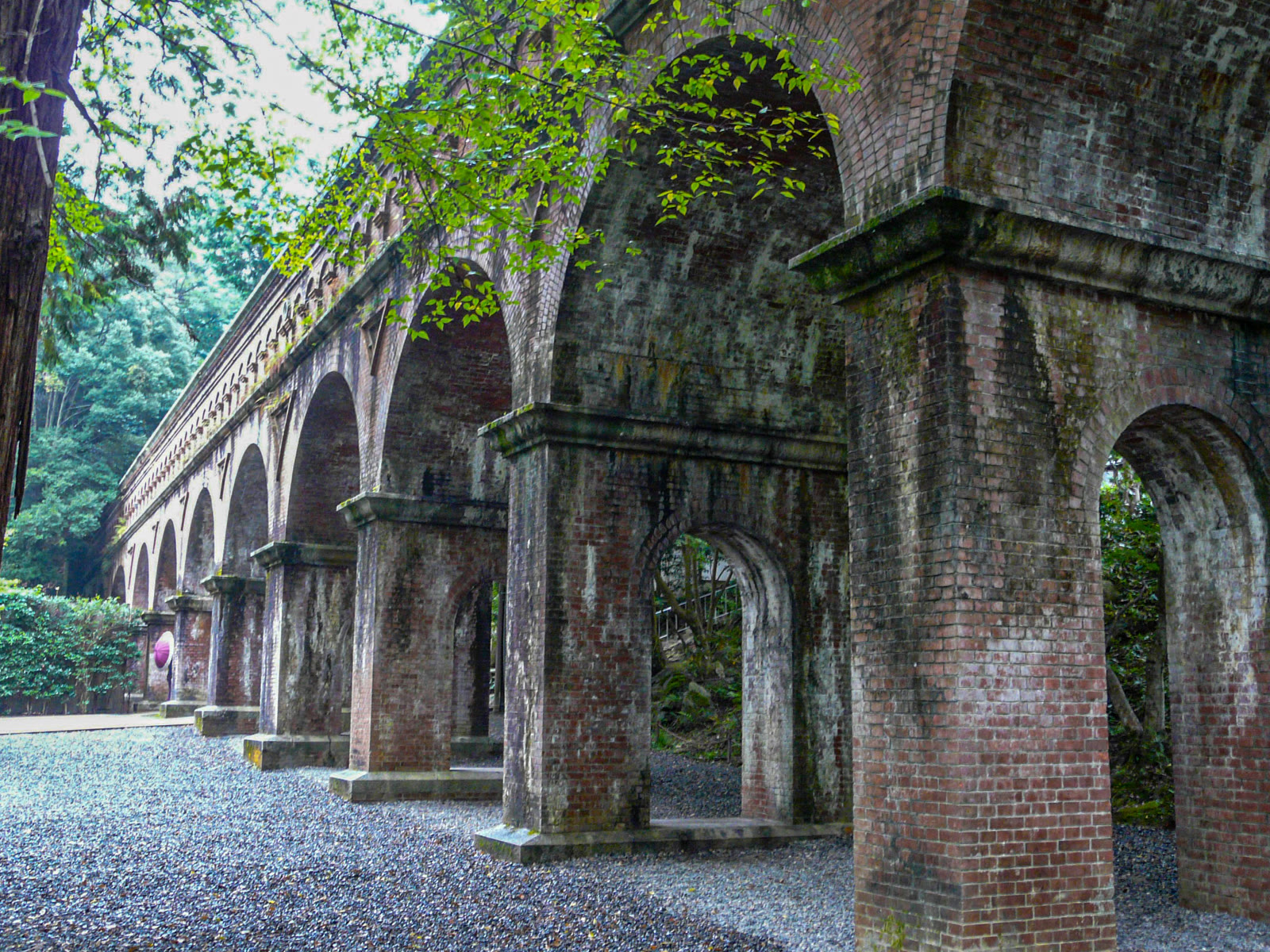
Nanzen-ji
0.5 km · straight line
 Martin Falbisoner / CC BY-SA 4.0
History · Kyoto★★
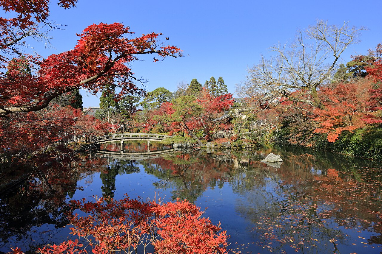
Eikando Zenrin-ji
0.7 km · straight line
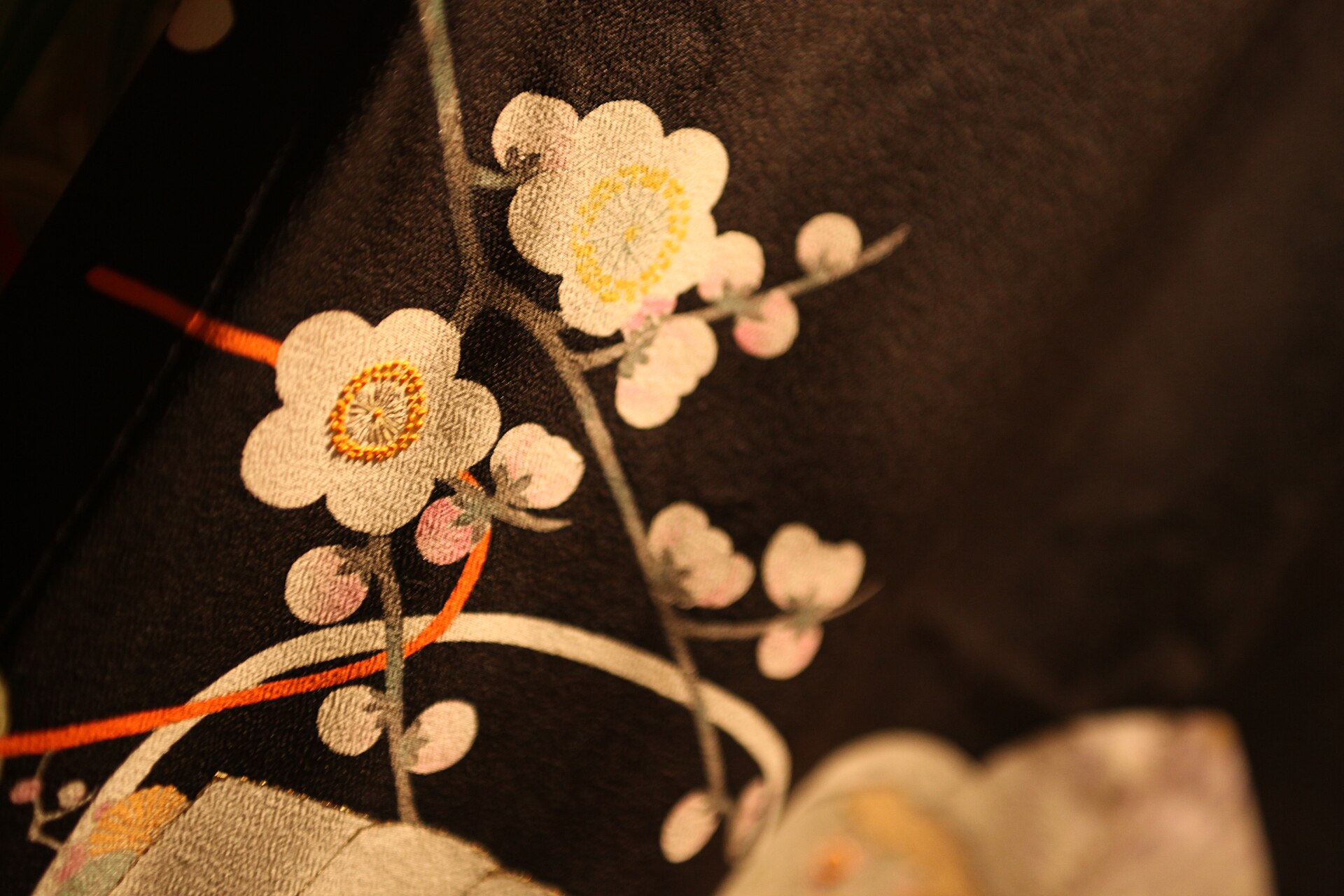 Bruno Cordioli / CC BY 2.0
Craft · Kyoto★★★
Kyo-Yuzen
0.7 km · straight line
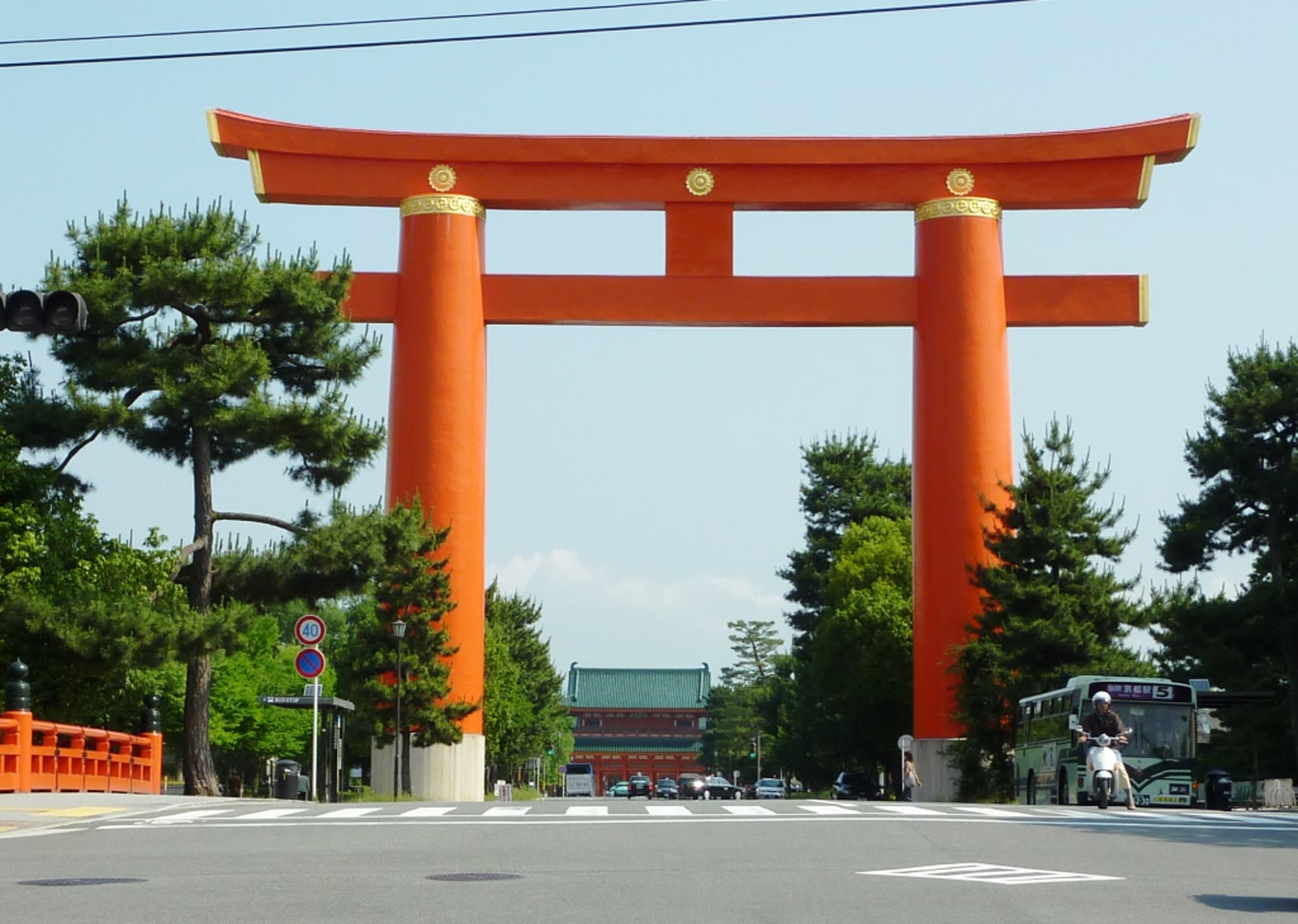 John Hill / CC BY-SA 4.0
History · Kyoto★★★
Heian-jingu Shrine
0.8 km · straight line
Distances are straight lines on the map, not travel times.