Chichibu · MinanoNo.084★Open in map →
Mt. Minoyama
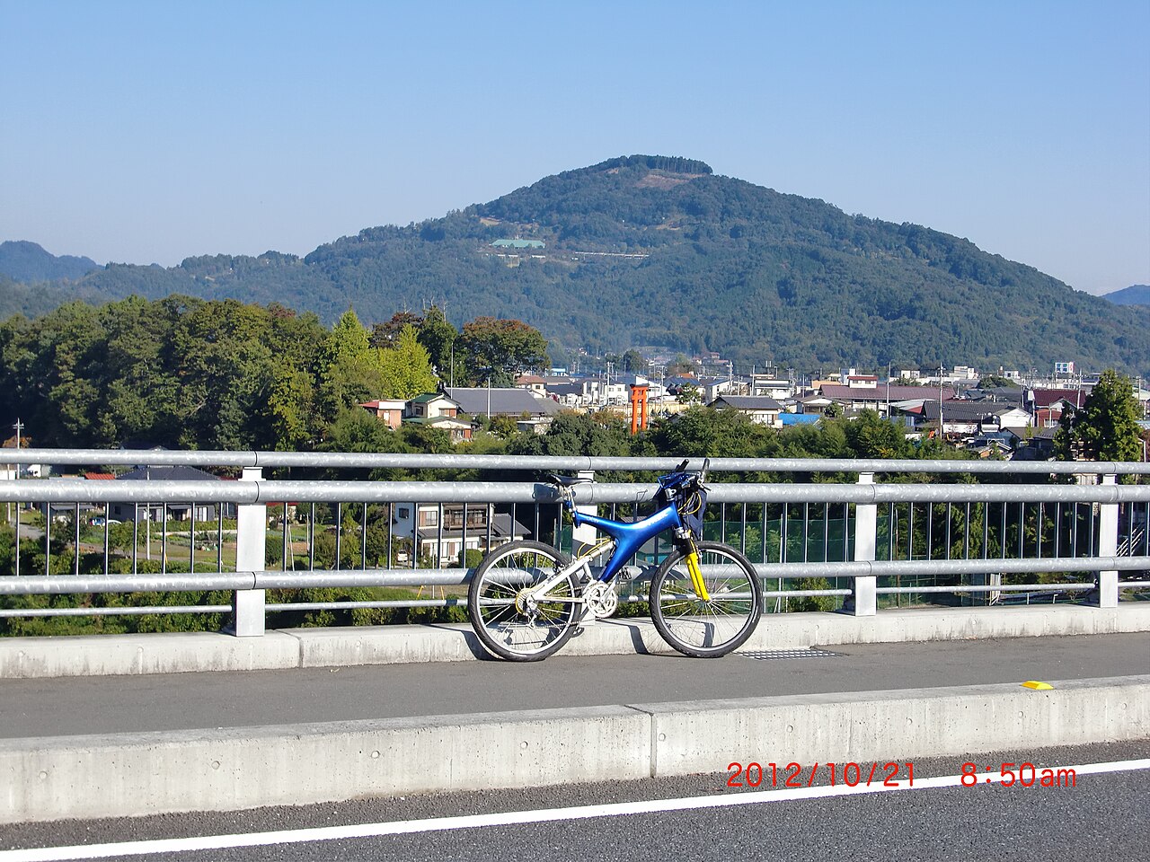
Mt. Minoyama is a 581.5 m free-standing peak in the middle of the Chichibu basin in Saitama. Its summit is a public flower park with sweeping views, and on calm spring and autumn mornings cloud can settle over the valley below.
- FromIkebukuro / Seibu-Chichibu Stn
- ~3.5-4 hr from Tokyo (incl. ~90 min climb)no bus · ~90 min climb
- Get off atOyahana Stn (Chichibu Railway)
- From there
- Mt. Minoyama
The sweet spot
There is no bus to the top, so it draws only people willing to climb about 90 minutes on foot from a small station, or to drive up the mountain road. English-language information is thin, and the peak sits off the main Chichibu sightseeing route, so it stays quiet. The sea of clouds also needs a still, cool morning, which is hard to plan around.
Where it is
19 more notes in Saitama · open the map →What to look for — in walking order
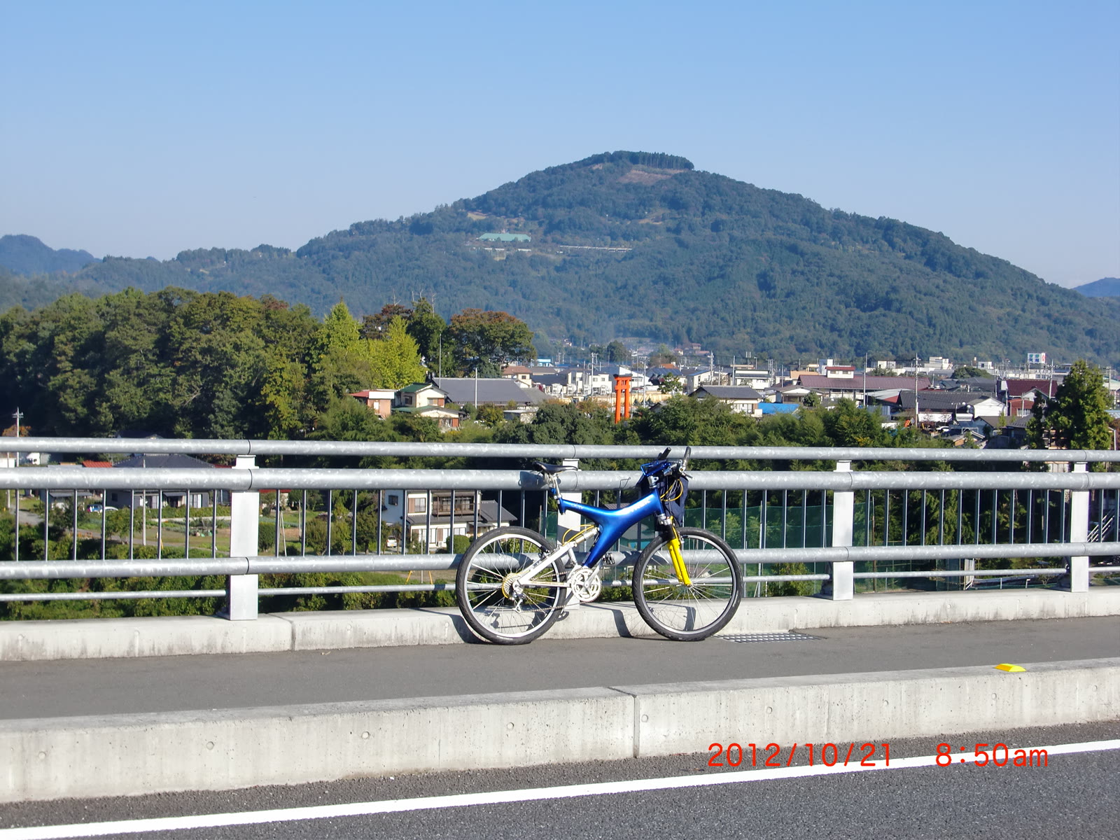
- Solitary summit viewbecause the peak stands free of other mountains, the view opens almost all the way around the Chichibu basin
- About 8,000 cherry treesSomei-Yoshino, wild mountain cherry and garden varieties cover the hillside, blooming from April into May
- Azalea and hydrangearoughly 3,500 azalea shrubs in May and about 4,000 hydrangeas from late June into July
- Spring and autumn cloud seaon windless cool dawns the basin can fill with low cloud; April and November are the most likely months
How to actually get there
- Ikebukuro → Seibu-Chichibu Stn (Seibu Line, Laview limited express, ~80-90 min).
- Seibu-Chichibu Stn → Ohanabatake Stn on foot (~5 min).
- Ohanabatake → Oyahana Stn (Chichibu Railway, ~10 min, ~2 stops).
- Oyahana Stn → summit park on foot (signed hiking path, ~90 min uphill).
- Seibu line + Chichibu Railway, then a ~90 min climb on foot
- Ikebukuro (central Tokyo) →(Seibu Ikebukuro/Chichibu Line, Laview limited express, ~80-90 min)→ Seibu-Chichibu Stn → walk ~5 min to Ohanabatake Stn →(Chichibu Railway toward Nagatoro/Yorii, ~10 min, about 2 stops)→ Oyahana Stn (the official trailhead) → then on foot up the signed hiking path, ~90 min to the summit park. Total from Tokyo about 3.5-4 hours including the climb. The Chichibu Railway runs only 1-2 trains an hour, so check the day's timetable before you go.
- Come down in daylight; check return trains at the station
- There is no lighting on the trail, so start down while it is still light. The Chichibu Railway is infrequent (about 1-2 trains an hour) and services thin out in the evening, so check the return times posted at Oyahana Stn when you arrive.
About the place
Mt. Minoyama rises on its own in the center of the Chichibu basin, an unusual solitary peak among ranges that mostly run in long chains. Because it stands alone, the park on its summit gives a nearly all-around view: the town of Chichibu below and the Oku-Chichibu mountains beyond. On still mornings in spring and autumn, cloud pools in the basin and the surrounding ridgelines appear to float above it. Through the rest of the year, the hilltop park draws visitors with cherry, azalea and hydrangea that bloom in turn through the seasons.
How to enjoy it
Time your visit to the cherry blossoms in April, the azaleas in May, or the hydrangeas in early summer, and use the summit park for the wide basin panorama. For the cloud sea, arrive before dawn on a still, clear morning in spring or autumn after a cool night. There is no bus and no shops on top, so bring your own water and snacks.
Background & history
The peak sits inside a prefectural nature park, and its summit was developed as a public recreation area. Mt. Minoyama straddles the boundary of Chichibu City and Minano Town, and is reached from the Chichibu Railway line. Saitama Prefecture and local tourism bodies promote it for its flowers, wide view, and the seasonal sea of clouds.
Before you go
- Cash
- There are no shops or vending on the summit, so bring your own water, snacks and cash. Rural station areas are often cash-only, so carry some coins.
- Good to know
- The park itself is open ground you can enter any time, but for the sea of clouds aim for a windless dawn after a cool, clear night.
- Another way
- If you would rather not hike, a taxi from Minano Stn reaches the summit in about 20 minutes; by car the mountain road climbs to the summit car park.
- After you get off
- From Oyahana Stn, follow the signed hiking path; it climbs about 90 minutes (3.7 km) up the lone peak to the summit park. The climb is steep in places, so wear proper walking shoes.
Nearby notes
 Bryanmackinnon / CC BY 4.0
History · Saitama★
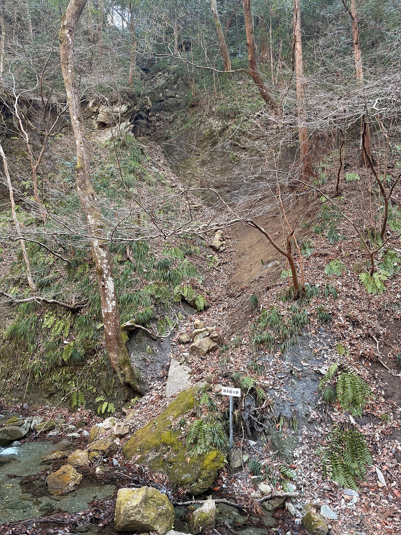
Wadō Ruins
1.2 km · straight line
 Guilhem Vellut from Annecy, France / CC BY 2.0
Nature · Saitama★★★
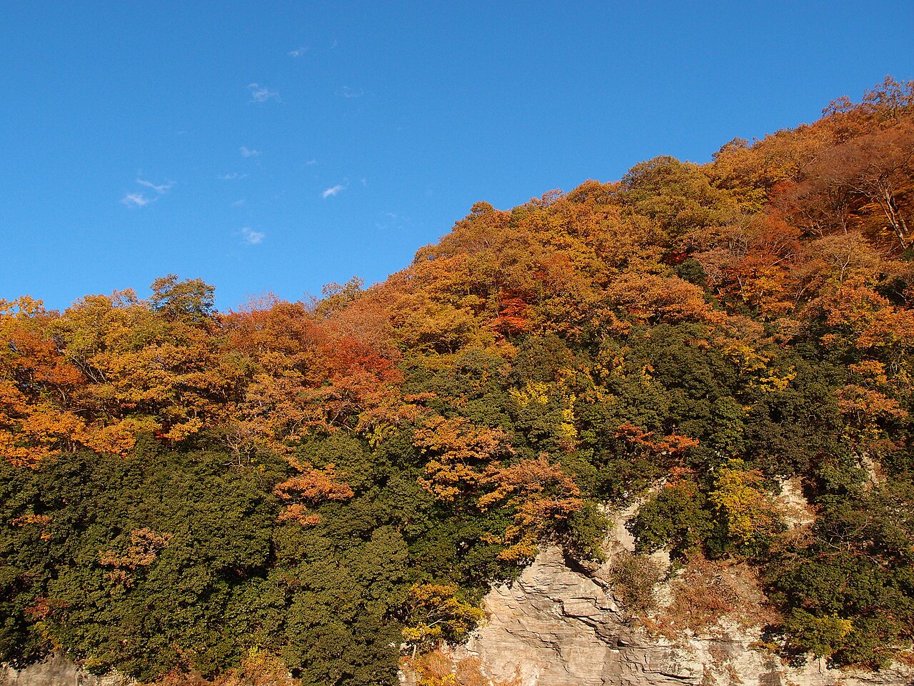
Nagatoro
4.2 km · straight line
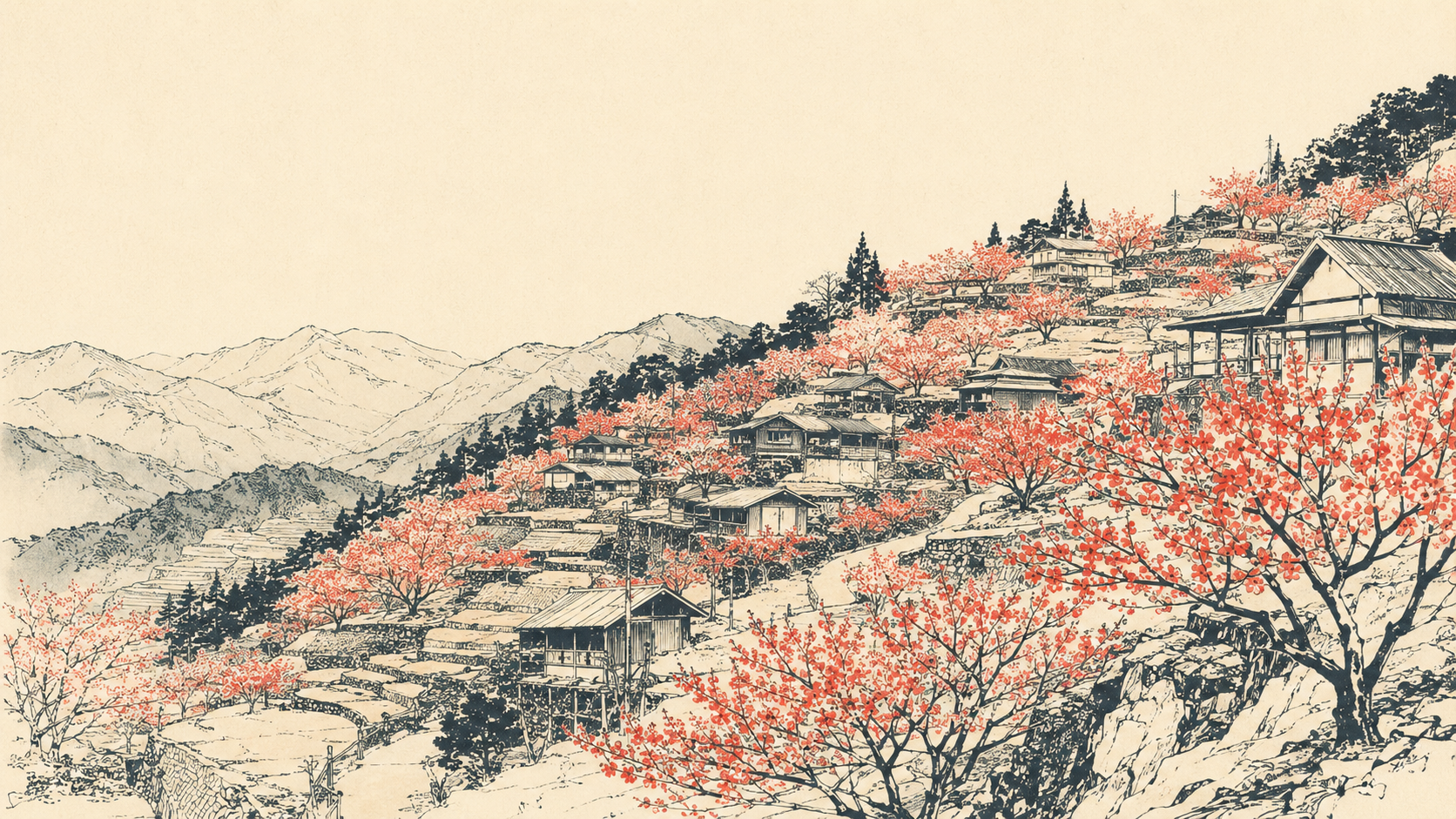 illustration (AI-illustrated)
Nature · Saitama★
Ouchizawa Hanamomo no Sato
5.7 km · straight line
 ちちびあん / CC BY-SA 4.0
History · Saitama★
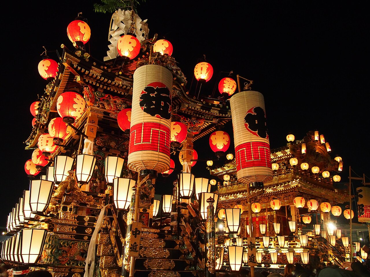
Banba-dori
7.3 km · straight line
Distances are straight lines on the map, not travel times.