Chichibu · KuroyaNo.083★Open in map →
Wadō Ruins
An archaeological site in Kuroya, Chichibu (Saitama), where natural copper was found in 708 CE — the discovery that led to the Wadō-kaichin, described as Japan's first circulating coin.
- FromIkebukuro Stn (Tokyo)
- ~2 hrtrain + walk (rail infrequent)
- Get off atWadō-Kuroya Stn (Chichibu Railway)
- On foot
- Wadō Ruins
The sweet spot
The station was renamed for the event, but the site itself has almost no English signage and sits up a quiet valley lane. Most visitors only see the roadside shrine and miss the open-cut on the slope above.
Where it is
19 more notes in Saitama · open the map →What to look for — in walking order
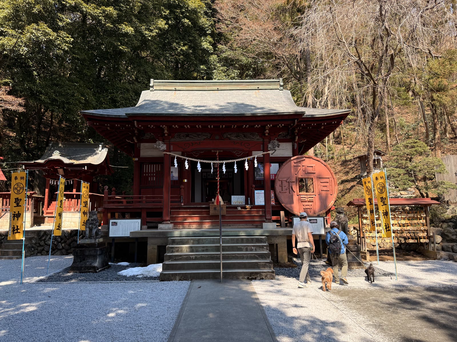
- Hijiri Shrinelocally called the 'money god', enshrining Wadō copper and keeping coin and copper treasures
- Wadō-kaichin monumenta tall steel replica of the coin, marking the entrance to the mining ground
- Copper-washing brookthe small stream beside the site where ore was once washed
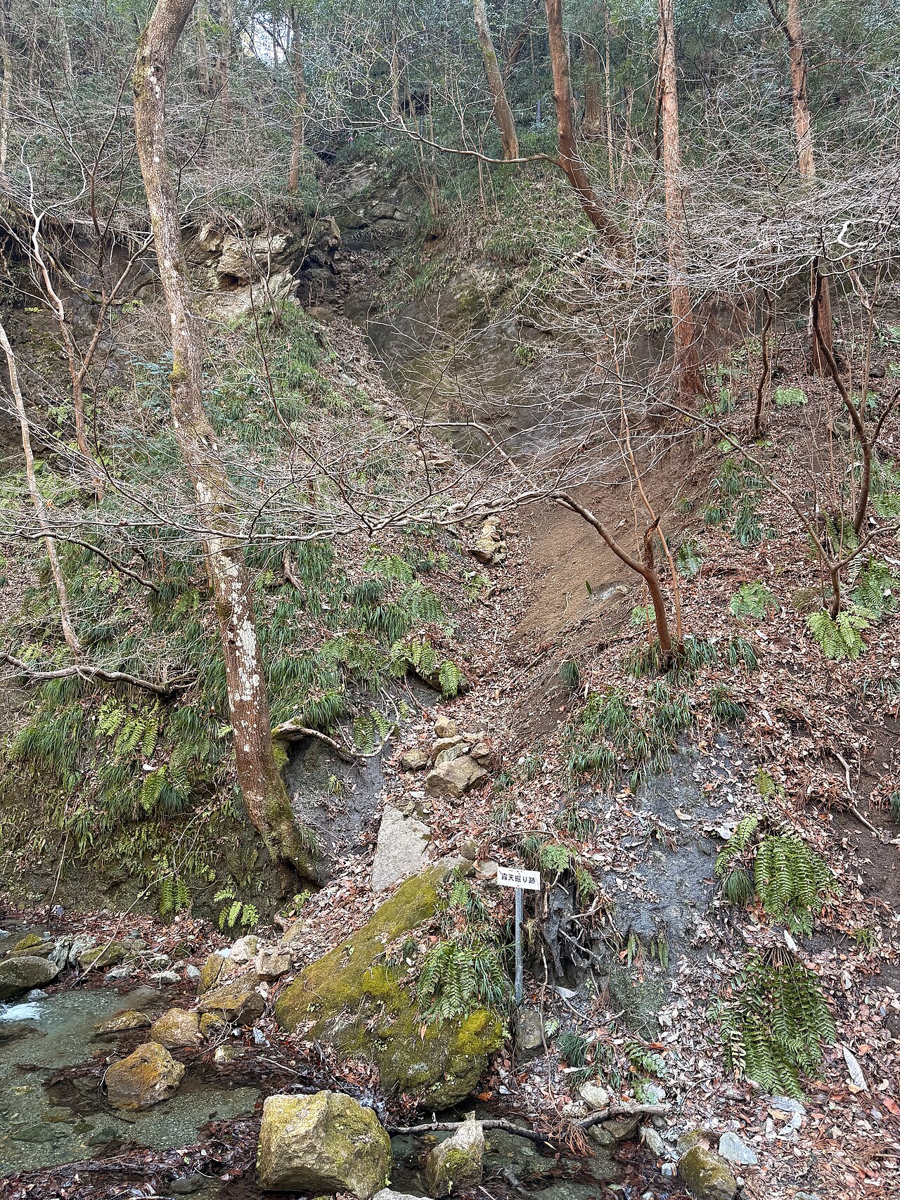
- Open-cut scarexposed rock faces running over 100 metres up Mt. Wadō, the remains of the old surface copper working
How to actually get there
- Ikebukuro → Seibu-Chichibu (Seibu Ikebukuro / Chichibu Line limited express, ~80 min)
- Seibu-Chichibu → Ohanabatake (~5 min walk between stations)
- Ohanabatake → Wadō-Kuroya (Chichibu Railway toward Hanyu, ~15 min)
- Wadō-Kuroya Station → Hijiri Shrine → coin monument (~20 min on foot)
- Seibu line + Chichibu Railway
- Ikebukuro Station (Tokyo) →(Seibu Ikebukuro / Chichibu Line 'Laview' limited express, ~80 min)→ Seibu-Chichibu Station →(~5 min walk to Ohanabatake Station)→ Ohanabatake →(Chichibu Railway toward Hanyu, ~15 min)→ Wadō-Kuroya Station. Total roughly 2 hours. The Chichibu Railway runs only about once an hour, so check the day's timetable before you set out.
- Chichibu Railway back to Seibu-Chichibu
- Return by the Chichibu Railway to Ohanabatake, walk ~5 min to Seibu-Chichibu, then the Seibu line back to Ikebukuro. The Chichibu Railway is roughly hourly and rural services end in the evening — check the return time at Wadō-Kuroya Station when you arrive.
About the place
On the eastern side of Wadō-Kuroya Station, in the wooded hills of Kuroya, a scar of exposed rock runs more than a hundred metres up the slope of Mt. Wadō. These are the remains of open-cut copper working, where miners dug copper from the surface rather than from tunnels. In 708 CE, natural copper mined here was presented to the imperial court. The find was significant enough to prompt a change of era name to Wadō, meaning 'Japanese copper', and that copper became the metal for the Wadō-kaichin — widely described as Japan's first circulating coin. A tall steel monument shaped like the coin marks the entrance to the old mining ground, beside a small stream once used to wash the ore.
How to enjoy it
From Wadō-Kuroya Station it is about five minutes on foot to Hijiri Shrine, then a further walk up the lane to the coin monument. The upper trail to the rock face is currently closed for safety, so the open-cut is best seen from beside the monument. Pairing the shrine with the mining ground tells the full 'birthplace of the coin' story.
Background & history
The 708 CE discovery prompted Empress Genmei to change the era name from Keiun to Wadō and issue the Wadō-kaichin coin. The exposed rock faces on Mt. Wadō follow a geological fault line and mark where the copper vein was worked. Copper mining in the wider Chichibu area continued in later centuries, and the nearby Hijiri Shrine enshrines Wadō copper as a sacred object, keeping the memory alive.
Before you go
- Cash
- Wadō-Kuroya is a small unstaffed-style station; carry coins for the fare in case IC cards or change are limited.
- Good to know
- The site is up a stream-side lane on a hillside; wear proper shoes, especially after rain. The upper trail to the rock face is closed for safety.
- Another way
- You can combine it with other stops on the Chichibu Railway on the same day if you have time.
- After you get off
- From Wadō-Kuroya Station it is about 5 min on foot to Hijiri Shrine, then roughly 15 min up the lane toward the coin monument.
Nearby notes
 toriichi3 / CC BY 3.0
Nature · Saitama★
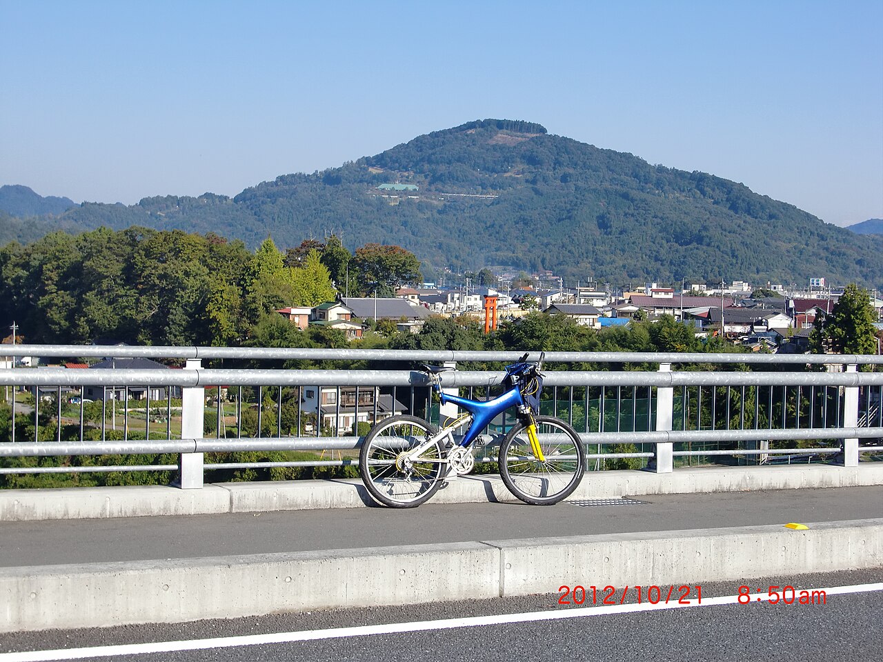
Mt. Minoyama
1.2 km · straight line
 Guilhem Vellut from Annecy, France / CC BY 2.0
Nature · Saitama★★★
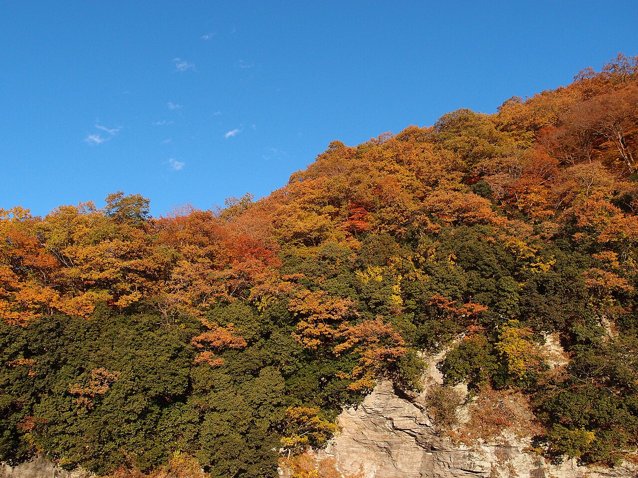
Nagatoro
5.3 km · straight line
 ちちびあん / CC BY-SA 4.0
History · Saitama★
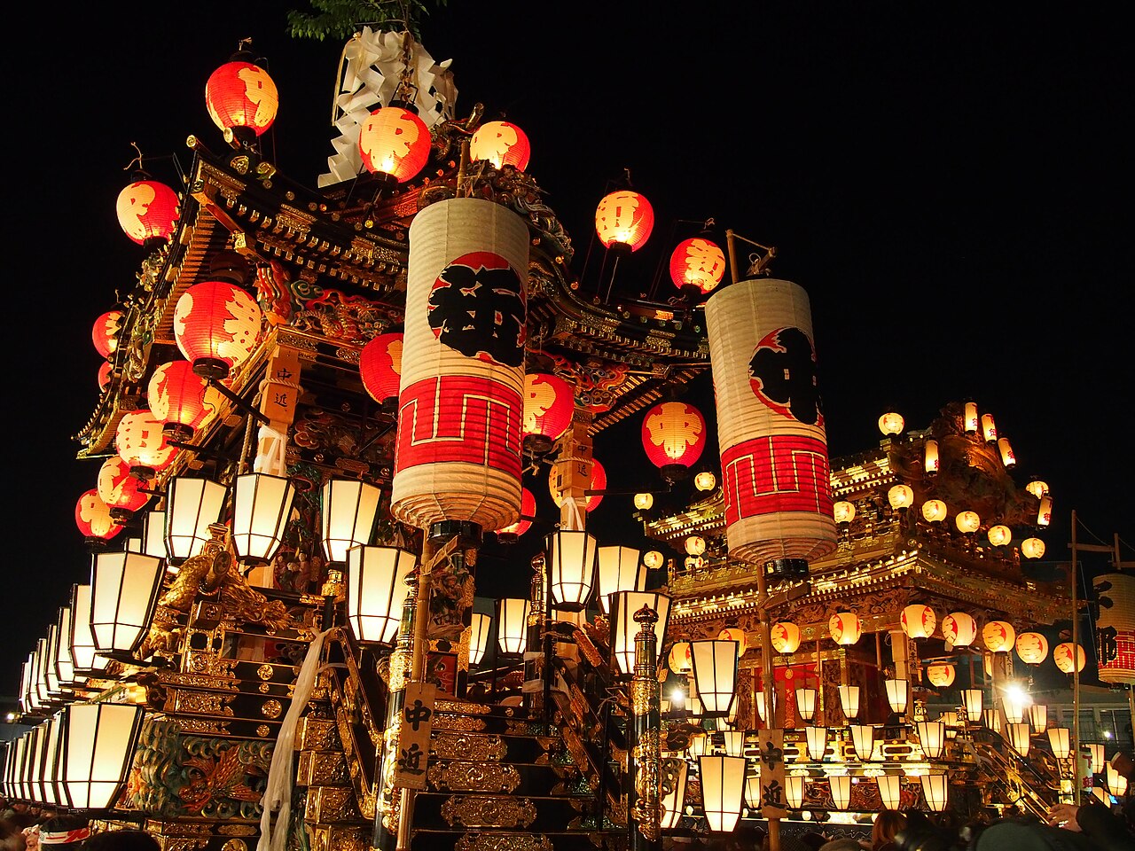
Banba-dori
6.1 km · straight line
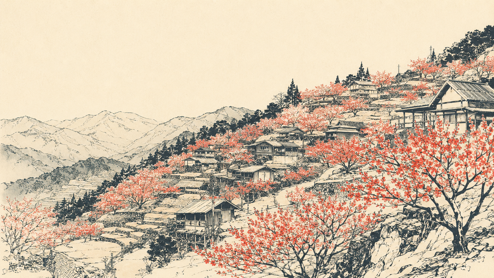 illustration (AI-illustrated)
Nature · Saitama★
Ouchizawa Hanamomo no Sato
6.7 km · straight line
Distances are straight lines on the map, not travel times.