Nara east · SoniNo.1249★★Open in map →
Soni Kogen
— Nara's silver-grass highland
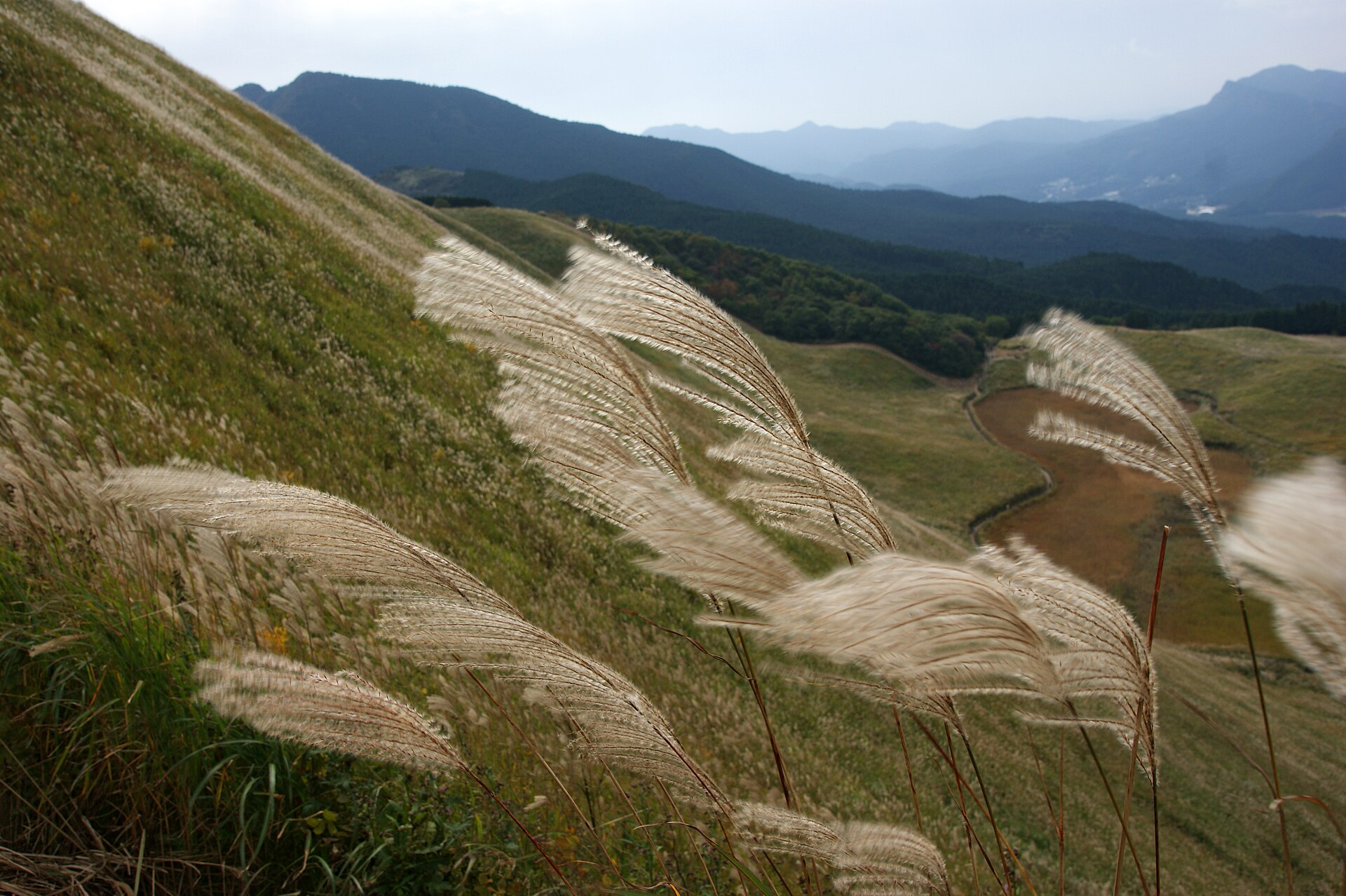
A bowl of silver grass on the eastern edge of Nara Prefecture, kept open by fire every spring. A level path circles the marsh at the bottom, and a stepped track climbs from it to the pass above.
- FromOsaka-Namba Station
- ~2 hrKintetsu + seasonal bus
- Get off atSoni Kogen bus stop (Sanco bus, seasonal)
- From there
- Soni Kogen
The sweet spot
This is not a hidden place. Nara Prefecture puts it forward as one of its headline autumn landscapes. What actually shapes the day is transport: the direct bus from Nabari runs in season only, and only a few times a day, so the calm stretches fall naturally either side of the timetable.
Where it is
32 more notes in Nara · open the map →What to look for — in walking order
- Okameikethe marsh on the floor of the basin, ringed by a level walking path
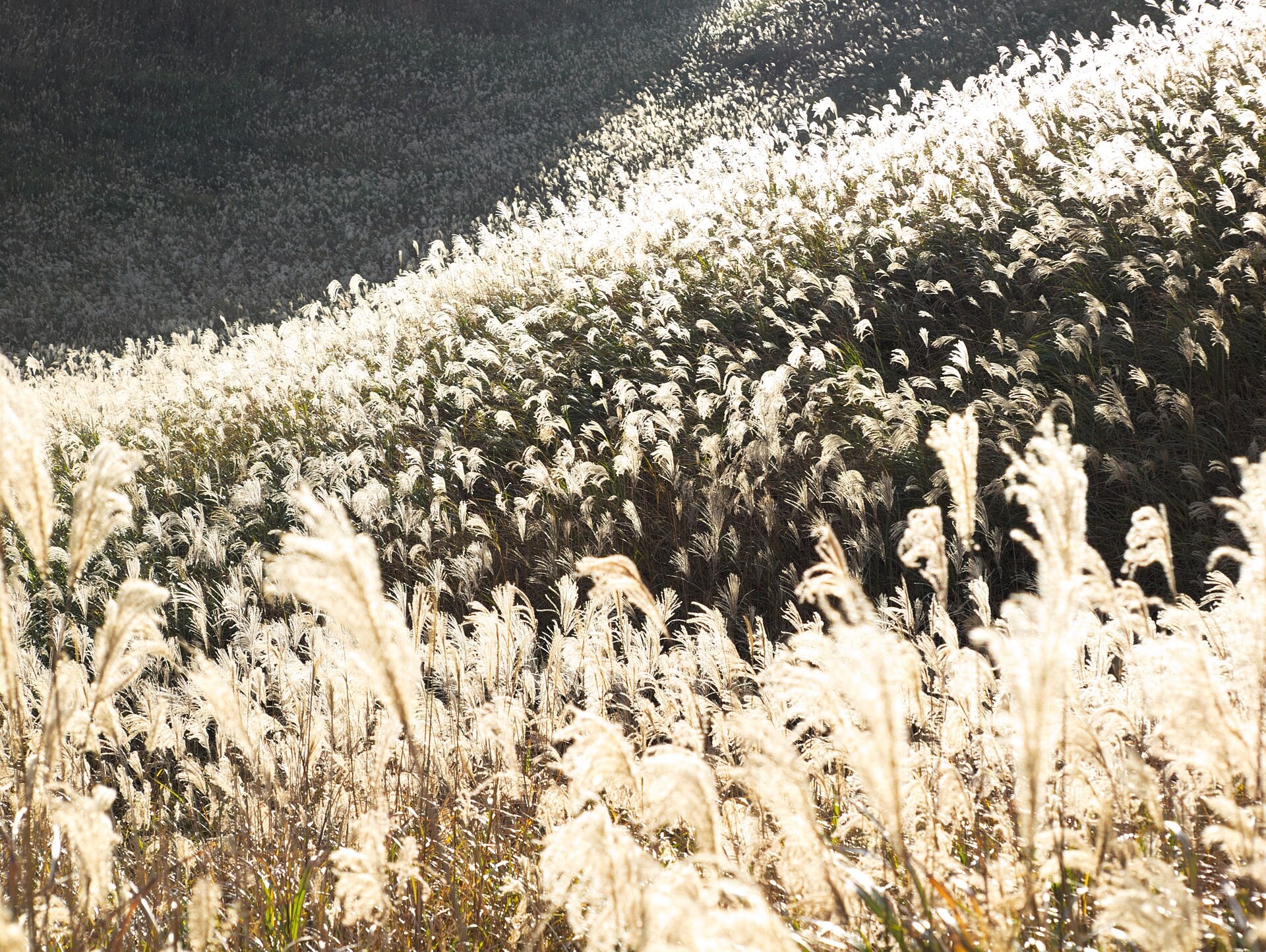
- The silver-grass slopesthe sides of the bowl, silver in early autumn and gold by late November
- The stepped track to Kameyama Passa staircase path up the eastern wall of the basin to the ridge line
- Mount Kurosoyamathe 1,038-metre peak north of the pass, the high point above the grassland
- Soni Kogen Farm Gardenthe village-run complex at the foot of the hill, with a hot spring and a bakery
How to actually get there
- Osaka-Namba Station → Nabari Station (Kintetsu Osaka Line limited express, about 1 hour).
- Nabari Station west exit → Soni Kogen (Sanco bus, about 45 min, 1,100 yen; seasonal, few departures).
- Soni Kogen car park → Okameike → the stepped track up to Kameyama Pass (on foot).
- Come back down the same way, or carry on to Soni Kogen Farm Garden at the foot before the return bus.
- Kintetsu Osaka Line to Nabari, then the Sanco bus
- Osaka-Namba Station →(Kintetsu Osaka Line limited express, about 1 hour)→ Nabari Station, then the Sanco bus from the west exit to the Soni Kogen terminus, about 45 minutes. The fare for that bus leg is 1,100 yen. It is a seasonal service with only a handful of runs a day.
- Back down to Nabari Station
- Return on the same Sanco line to Nabari, then Kintetsu to Osaka-Namba, or change at Yamato-Yagi for Kyoto. Afternoon departures from the highland are very few, so read the return times on the board at the stop before you start up the slope.
About the place
Soni Kogen is a grassland on the western slopes of Kurosoyama and Kameyama, at the eastern edge of Nara Prefecture. The bowl is covered in susuki, Japanese silver grass, from the floor of the basin up to the ridge line. A small marsh called Okameike lies at the bottom, circled by a level walking path. From that path a stepped track climbs the eastern wall to Kameyama Pass, where the whole basin and the village below open out at once. North from the pass the route continues onto Kurosoyama; south it runs along to the top of Kameyama.
How to enjoy it
Afternoon is the window worth aiming for: the low sun runs through the plumes side-on, and the colour deepens as the light drops behind the western ridge. From mid-September to 23 November lanterns are lit around the marsh after sunset, so an afternoon arrival gives you the golden hour and the lantern hour in the same visit. Bring a torch and a warm layer — the basin cools fast once the sun is gone.
Background & history
This grassland is not what was left behind when people stopped cutting it. Villagers burn the slopes off every spring, a practice called yamayaki, which clears the dead stalks and stops trees moving in so the plumes come back thick the following autumn. The highland also lies within a strict protection zone of the Muro-Akame-Aoyama Quasi-National Park, which limits what can be built on it. The lantern event around the marsh, Soni Kogen Yamaakari, had lapsed and was revived for the 2026 season.
Before you go
- Cash
- The highland itself has no gate and no admission charge. The car park at the top of the road charges per vehicle; the Soni Kogen Farm Garden car park at the foot is free but adds a climb. Carry cash for the bus fare and the parking.
- Good to know
- Outside the lantern season the slopes are unlit. The basin sits high enough that it chills quickly once the sun drops behind the western ridge, even in October. The track to the pass is earth and steps, and poor going in rain or straight after it.
- Another way
- The year-round option is the Sanco bus from Nabari bound for Yamakasu-nishi. Get off at Taroji and continue up the valley road on foot or by taxi.
- After you get off
- The seasonal bus terminates at the highland car park, on the lip of the basin. Both the path down to Okameike and the steps up to the pass start from there.
Nearby notes
 KENPEI / CC BY-SA 3.0
Nature · Mie★★
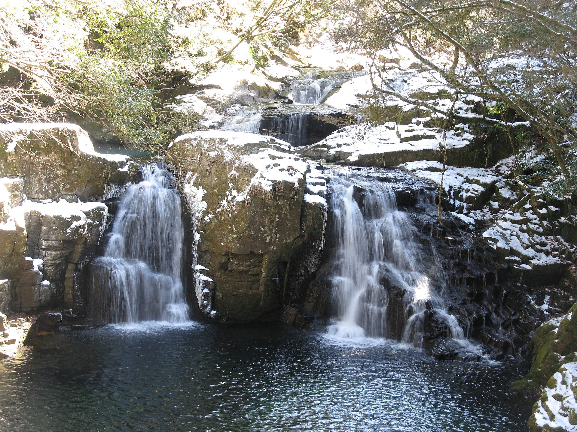
Akame 48 Waterfalls
8.5 km · straight line
 KishujiRapid / CC BY-SA 4.0
History · Nara★★
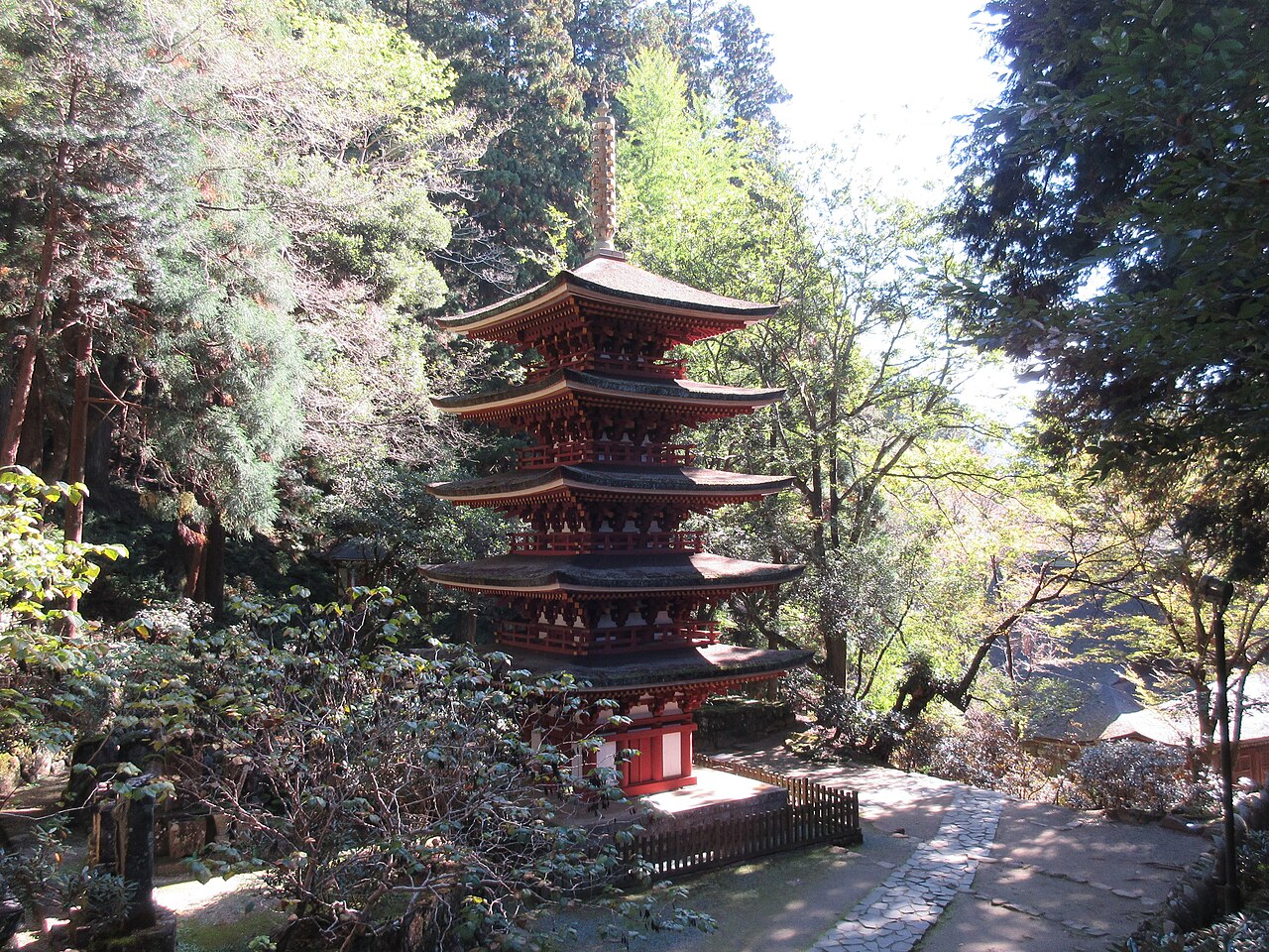
Murō-ji
11.2 km · straight line
 Saigen Jiro / CC0
History · Nara★
Uda-Matsuyama
21.3 km · straight line
 coniferconifer / CC BY 2.0
Nature · Nara★
Matabei-zakura
22.8 km · straight line
Distances are straight lines on the map, not travel times.