Wakayama · KudoyamaNo.065★Open in map →
Choishi-michi
— the old pilgrim road to Koyasan
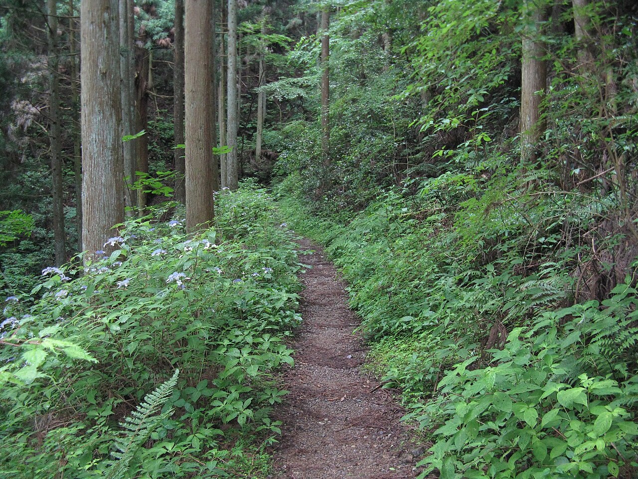
The historic walking route up to the sacred mountain of Koyasan, marked by stone pillars shaped like five-tiered stupas and beginning at Jison-in Temple in Kudoyama, Wakayama.
- FromNamba (Osaka)
- ~2 hrtrain + walk
- Get off atKudoyama Stn (Nankai)
- From there
- Choishi-michi
The sweet spot
Most visitors ride the train up to Koyasan and never see the base, so the trailhead stays quiet. Jison-in has little English-language information, sits off the main tourist flow, and is known mainly to people walking the world-heritage pilgrim road on foot.
Where it is
21 more notes in Wakayama · open the map →What to look for — in walking order
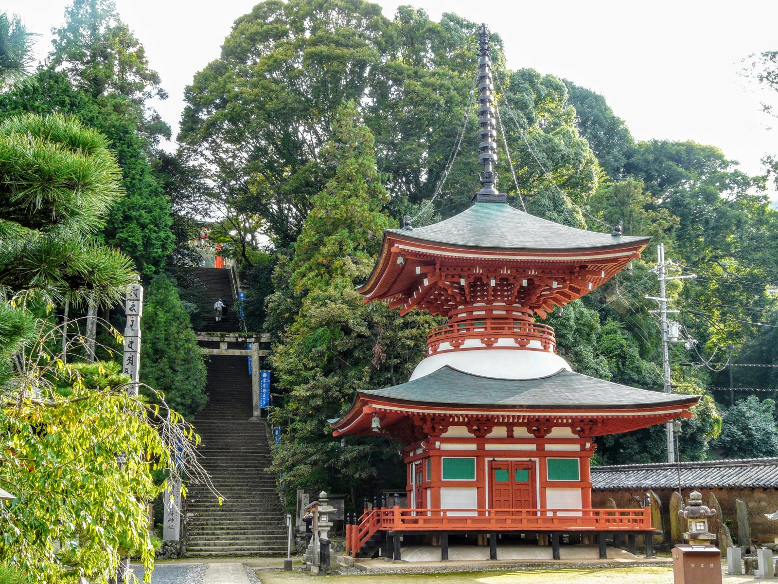
- Jison-in Templethe riverside trailhead founded by Kukai, associated with his mother and women pilgrims
- The choishi markersfive-tiered stone stupas spaced roughly 109 metres apart, 180 in total to the Danjo Garan
- Cedar forest climbthe path rising through old cedar into the mountain above Kudoyama
- UNESCO heritage routepart of the Kii Mountain Range sacred sites inscribed in 2004
How to actually get there
- Namba (Osaka) to Hashimoto Station (Nankai Koya Line express, ~50-70 min).
- Hashimoto to Kudoyama Station (local train toward Gokurakubashi, ~15-20 min).
- Kudoyama Station to Jison-in Temple (walk through the town, ~20-25 min).
- Jison-in Temple: follow the numbered stone markers uphill.
- Nankai Koya Line + walk
- From Namba (Osaka), take the Nankai Koya Line express toward Koyasan and change at Hashimoto Station to a local train bound for Gokurakubashi; get off at Kudoyama Station (about 90-100 min in total). Then walk about 20-25 min through the town to Jison-in Temple, the start of the trail. Trains on the express section run every 20-30 minutes; the local trains after Hashimoto are less frequent, so check the next departure before you transfer.
- return by train
- Return the same way, by train from Kudoyama Station back toward Namba. Local trains on the Hashimoto-Gokurakubashi section run less often than the main line, so when you arrive at Kudoyama, check the return times posted at the station.
About the place
Long before the mountain railway existed, pilgrims reached Koyasan on foot along the Choishi-michi, climbing roughly 22 kilometres from the Kinokawa river valley up to the temple town at the summit. The route takes its name from the choishi — stone guideposts in the form of five-tiered stupas set roughly 109 metres apart, so a walker always knows how far remains. Jison-in Temple in Kudoyama is the trailhead, and the count of 180 markers up to the Danjo Garan central complex begins here. Walking even the lower section gives a clear sense of what the full pilgrimage was meant to be.
How to enjoy it
Walk from Kudoyama Station through the town to Jison-in — about 20 to 25 minutes on paved lanes — then follow the numbered stone markers uphill through cedar forest. Even the lower stretch conveys the intent of the original pilgrimage route; the full climb to Koyasan is a long day hike for the well-prepared. Carry water, as there are few or no shops once you leave the town and climb the ridge.
Background & history
Jison-in was founded in 816 by Kukai (774–835), also known as Kobo Daishi, who established Koyasan as the center of Shingon Buddhism. Because women were barred from the mountain until the nineteenth century, Kukai's mother is said to have spent her final years at Jison-in, and the town name Kudoyama — meaning 'nine times mountain' — is linked to Kukai's repeated visits down to see her. More than 80 percent of the 180 stone markers on the main path date to the late twelfth through early fourteenth centuries, replacing earlier wooden posts. In 2004 the temple and road were inscribed as part of the UNESCO World Heritage site 'Sacred Sites and Pilgrimage Routes in the Kii Mountain Range.'
Before you go
- Cash
- Carry water and some coins. Once you leave the town and climb the ridge, there are few or no shops along the trail.
- Good to know
- Walked end to end this is a full mountain route (about 21-23 km, 6-7 hours). Start early and decide your turnaround point in advance.
- Another way
- For an easy taste, just walk from Jison-in up to the first few stone markers and back.
- After you get off
- From Kudoyama Station it is about a 20-25 minute walk through the town, on paved lanes, to Jison-in Temple, where the marker count begins.
Nearby notes
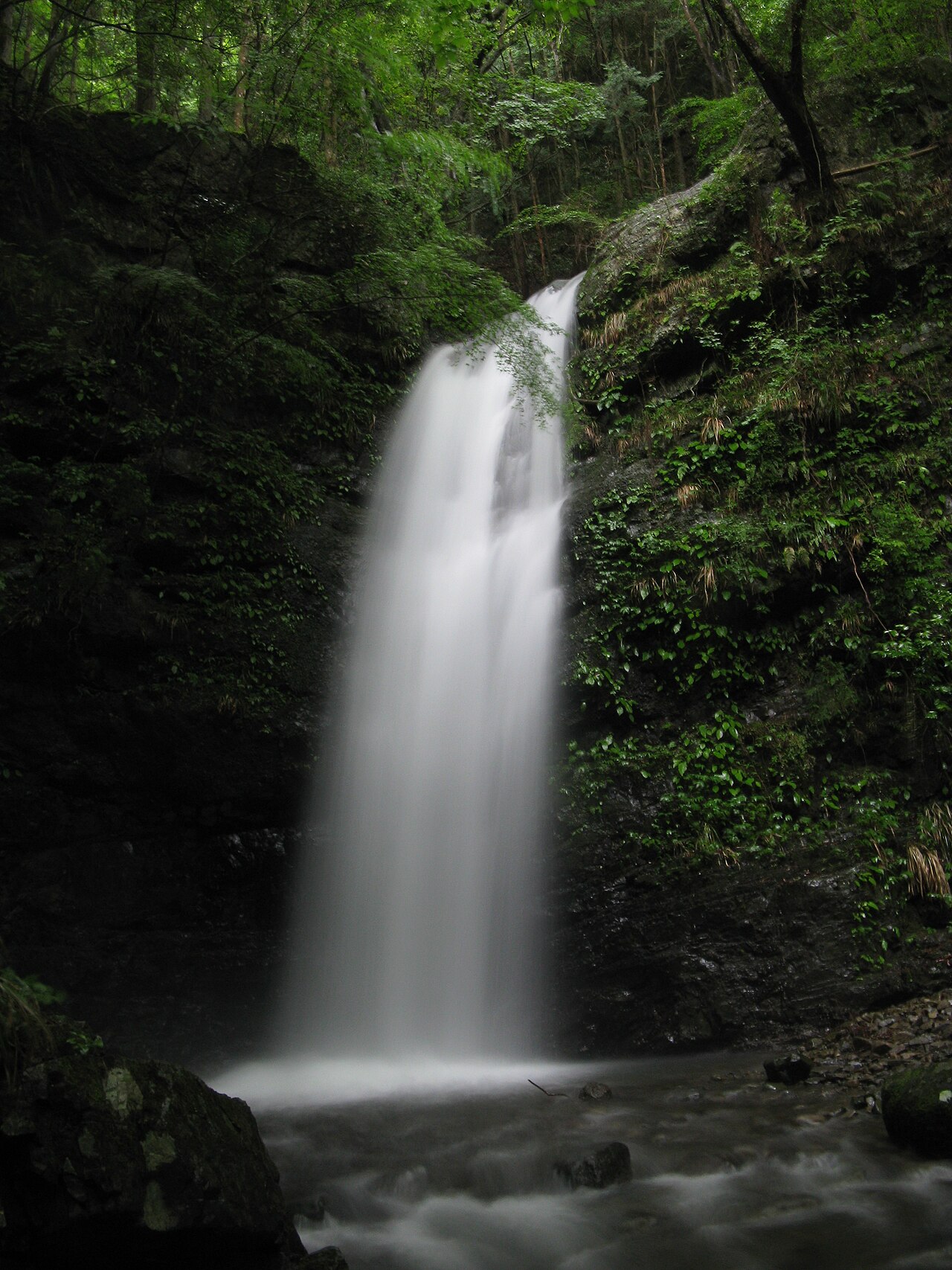 KENPEI / CC BY-SA 3.0
Nature · Osaka★
Takihata 48 Waterfalls
8.8 km · straight line
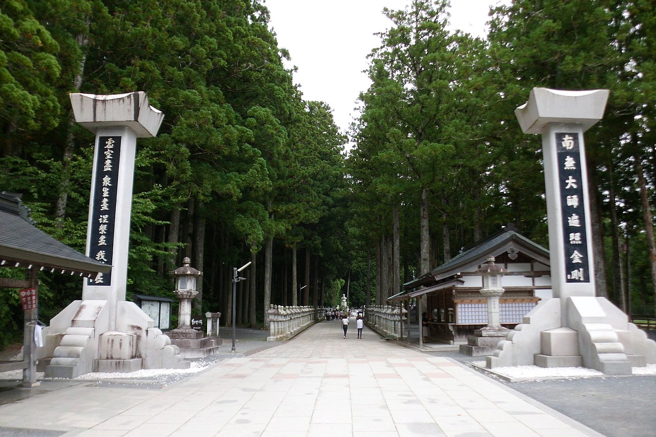 Indiana jo / CC BY-SA 4.0
History · Wakayama★★
Nyonin-michi
9.0 km · straight line
 Christophe95 / CC BY-SA 4.0
History · Wakayama★
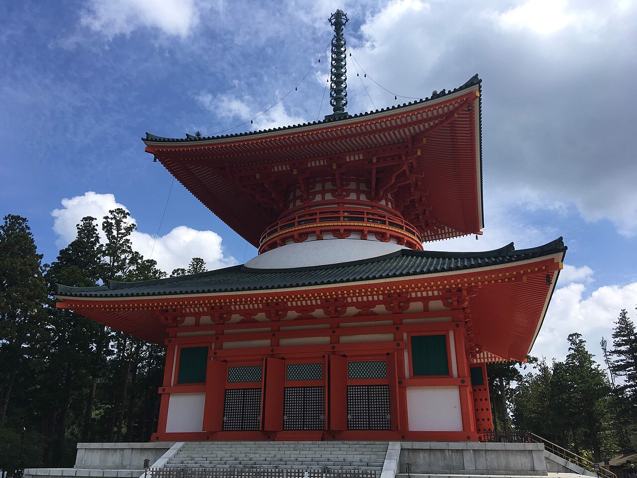
Danjo Garan and Kongobuji
9.6 km · straight line
 No machine-readable author provided. Jimius~commonswiki assumed (based on copyright claims). / Public domain
History · Wakayama★★★
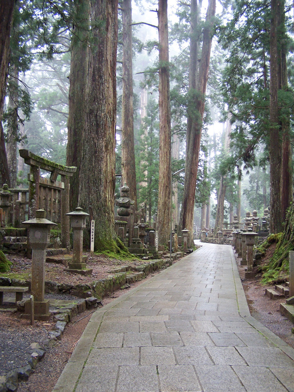
Koyasan Okunoin
10.0 km · straight line
Distances are straight lines on the map, not travel times.