Osaka east · KatanoNo.028★Open in map →
Hoshi-no-Buranko
— a 280-metre forest suspension bridge
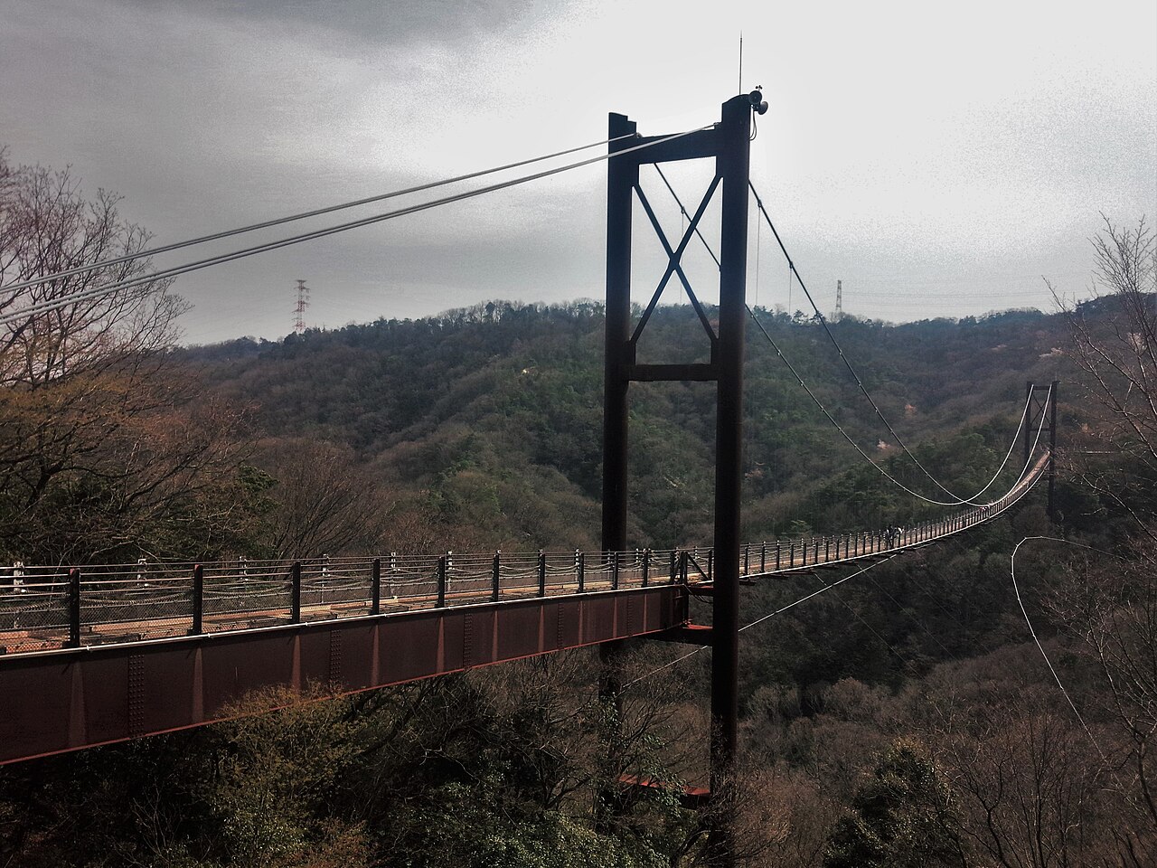
Hoshi-no-Buranko (Star Swing) is a pedestrian suspension bridge with a wooden deck, spanning a wooded valley inside Hoshida Park — a public forest run by Osaka Prefecture in the Ikoma foothills east of Osaka city.
- FromYodoyabashi (Osaka)
- ~2 hrtrain + long walk
- Get off atKisaichi Stn (Keihan Katano line)
- From there
- Hoshi-no-Buranko
The sweet spot
It stays quiet for foreign visitors because there is little English travel information about it, and reaching it takes real effort: a small terminal station on a branch line, then an uphill forest walk of an hour or more. It sits well off the main Osaka tourist routes, so few overseas day-trip plans include it.
Where it is
40 more notes in Osaka · open the map →What to look for — in walking order
- Riverside trail from Kisaichi Stnthe forested path uphill from the station, about 40 minutes to the park rest hut
- Piton's Huta small rest hut inside the park, about 40 minutes from the station; the path to the bridge continues from here
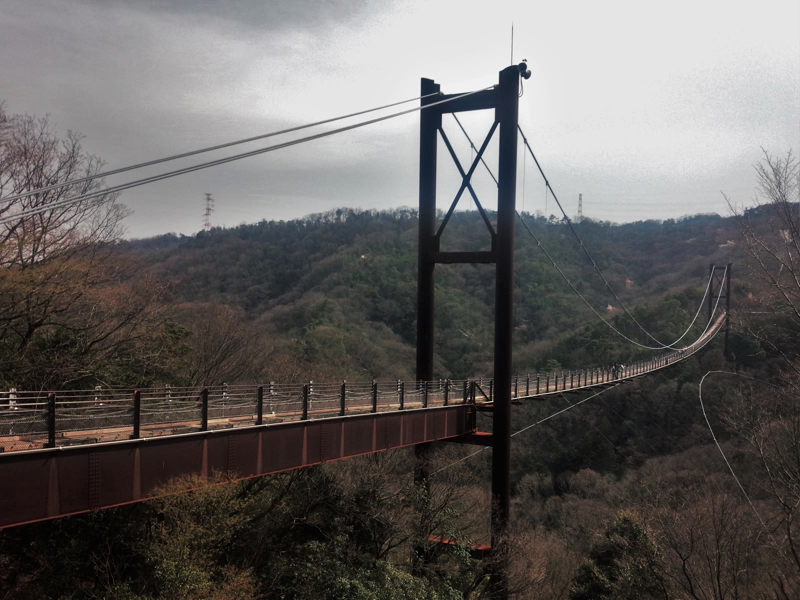
- 280-metre wooden-deck spanone of Japan's largest pedestrian suspension bridges, with its deck up to 50 metres above the valley floor
- Autumn colourthe surrounding forest turns red and gold in late November, the most popular time to cross
How to actually get there
- Yodoyabashi (central Osaka) → Hirakatashi Stn (Keihan Main Line, ~25 min).
- Hirakatashi Stn → Kisaichi Stn, the branch-line terminus (Keihan Katano Line, ~15 min).
- Kisaichi Stn → Piton's Hut, a park rest hut (riverside forest trail on foot, ~40 min).
- Piton's Hut → Hoshi-no-Buranko bridge (forest path on foot, ~20-40 min).
- Keihan train to Kisaichi, then a long uphill walk
- Yodoyabashi (central Osaka) →(Keihan Main Line, ~25 min)→ Hirakatashi Stn →(transfer to Keihan Katano Line, ~15 min)→ Kisaichi Stn, the last stop on the branch line. Train time about 40 min. Then walk from Kisaichi up a riverside forest trail: ~40 min to Piton's Hut, then ~20-40 min more up to the bridge. Total from central Osaka is about 2 hours, most of it walking. This is a hike, not a quick stop — wear proper shoes and start in the morning.
- Walk back down before dark
- Return the same way: walk back down to Kisaichi Station, then Keihan trains back toward central Osaka. The forest trail is slow and unlit, so leave the bridge with plenty of daylight left. Trains run frequently, but check the last connection at Kisaichi before it gets late.
About the place
The bridge is 280 metres long, with a 200-metre main span between its two towers, and its deck hangs up to 50 metres above the valley floor. Official sources describe it as one of Japan's largest wooden-deck pedestrian suspension bridges. This is a walking park, not a drive-up viewpoint: most visitors reach the bridge on foot along forest trails, starting from the nearest station and walking for about an hour or more. The surrounding forest is well known for autumn colour, with red and yellow leaves at their best in late November.
How to enjoy it
Plan for a real walk: about 40 minutes from Kisaichi Station up a riverside trail to Piton's Hut, then 20 to 40 minutes more on the forest paths to the bridge. Wear proper shoes and start in the morning — the bridge closes in strong wind and around dusk. Autumn, when the valley turns red and gold, is the most rewarding time to cross.
Background & history
The bridge was built in 1997, when Hoshida Park was developed as a mountaineering and rock-climbing venue for the 52nd National Sports Festival (nicknamed the "Namihaya" Games) held in Osaka. The name "Star Swing" comes from Katano's long-standing identity as a "town of stars," tied to local Tanabata folklore and old legends of stars falling to earth. Today the bridge is managed as part of Osaka Prefecture's public forest and is free to enter.
Before you go
- Cash
- There are no shops on the forest trail, so bring your own water and snacks. Entry to the park and the bridge is free.
- Good to know
- The bridge is closed in strong wind and around dusk, so plan to cross in the morning or early afternoon.
- Another way
- On weekends and holidays only, an infrequent local bus runs from near Kisaichi Station toward the park, but services are few — most people simply walk. Check the current bus timetable on the park's official site before relying on it.
- After you get off
- From Kisaichi Station, follow the riverside trail up toward Piton's Hut (a small park rest hut), then climb the forest path to the bridge — about 40 minutes to the hut and 20-40 minutes more to the bridge.
Nearby notes
 Sakaori / CC BY-SA 3.0
History · Nara★★★
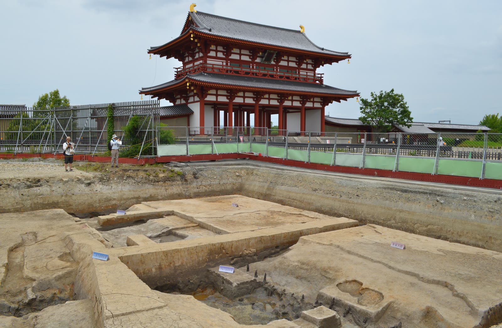
Heijo Palace Site
12.2 km · straight line
 663highland / CC BY 2.5
History · Nara★★★
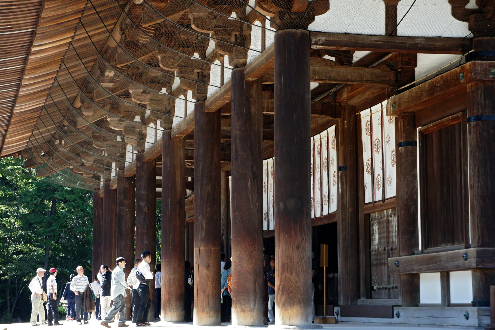
Tōshōdai-ji Temple
12.5 km · straight line
 Tokumeigakarinoaoshima / CC BY-SA 4.0
History · Nara★★★
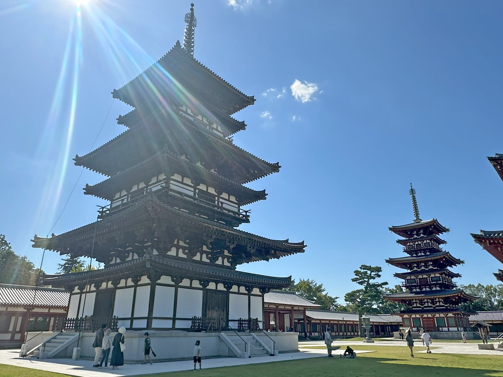
Yakushi-ji Temple
13.0 km · straight line
 C2revenge / CC0
History · Kyoto★★
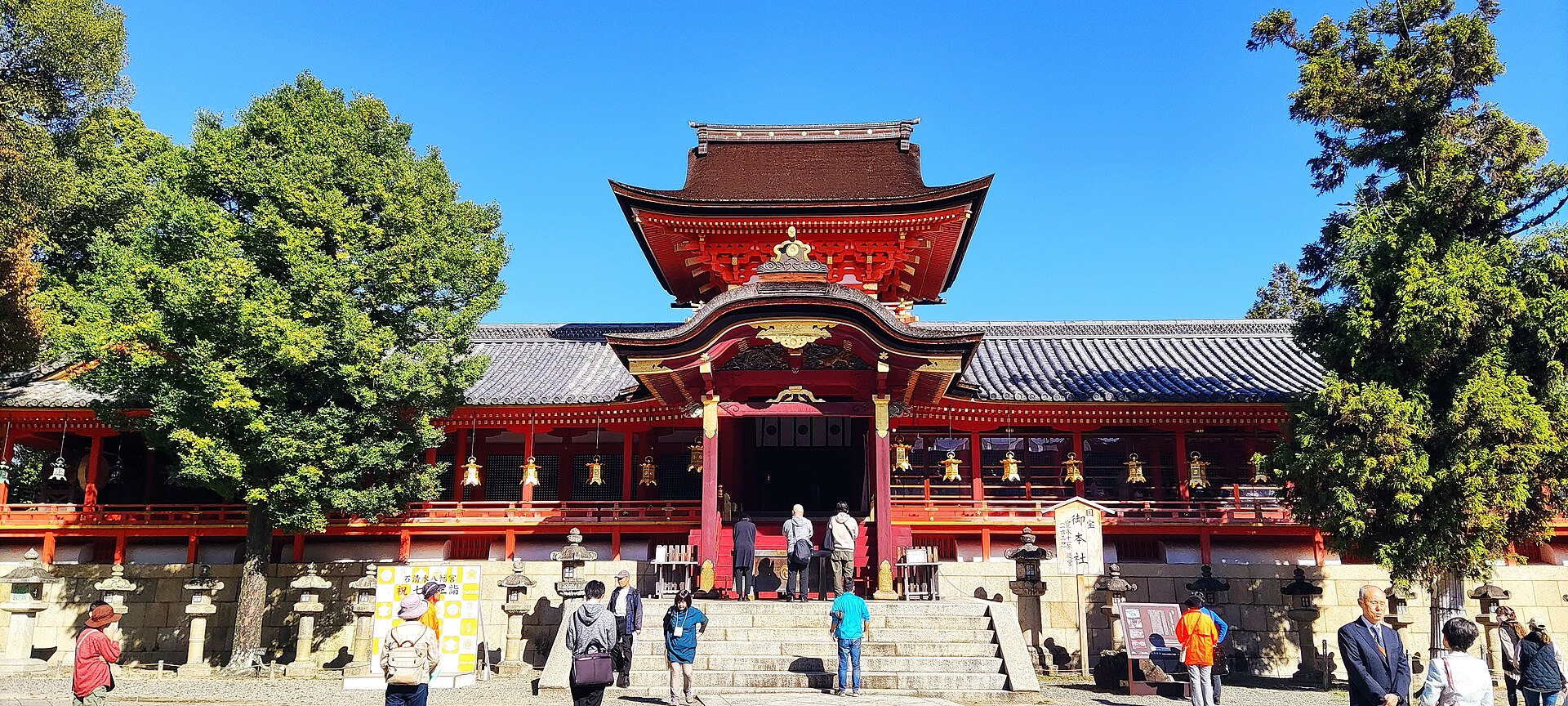
Iwashimizu Hachimangu
14.2 km · straight line
Distances are straight lines on the map, not travel times.