East Kyoto · HigashiyamaNo.278★Open in map →
Sannenzaka and Ninenzaka
— Kyoto's stone-paved slopes to Kiyomizu
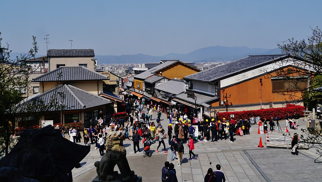
Two flagstone slopes running below Kiyomizu-dera in eastern Kyoto, lined with late-Edo and Taisho-era townhouses. The area is a nationally designated Important Preservation District for Groups of Traditional Buildings.
- FromKyoto Stn
- ~25 mincity bus + 5 min walk
- Get off atHigashiyama-Yasui bus stop (Kyoto City Bus)
- On foot
- Sannenzaka and Ninenzaka
The sweet spot
These lanes are on every Kyoto itinerary, which is exactly why almost nobody notices what they are looking at: a district under a statutory conservation plan, where the façades, rooflines and signage are all controlled. The original 1976 designation covered about 5.3 hectares; Ishibe-koji was added in 1996, bringing it to roughly 8.2. Walk that extra lane, or walk any of it before the shops open, and the place stops being a photo queue.
Where it is
90 more notes in Kyoto · open the map →What to look for
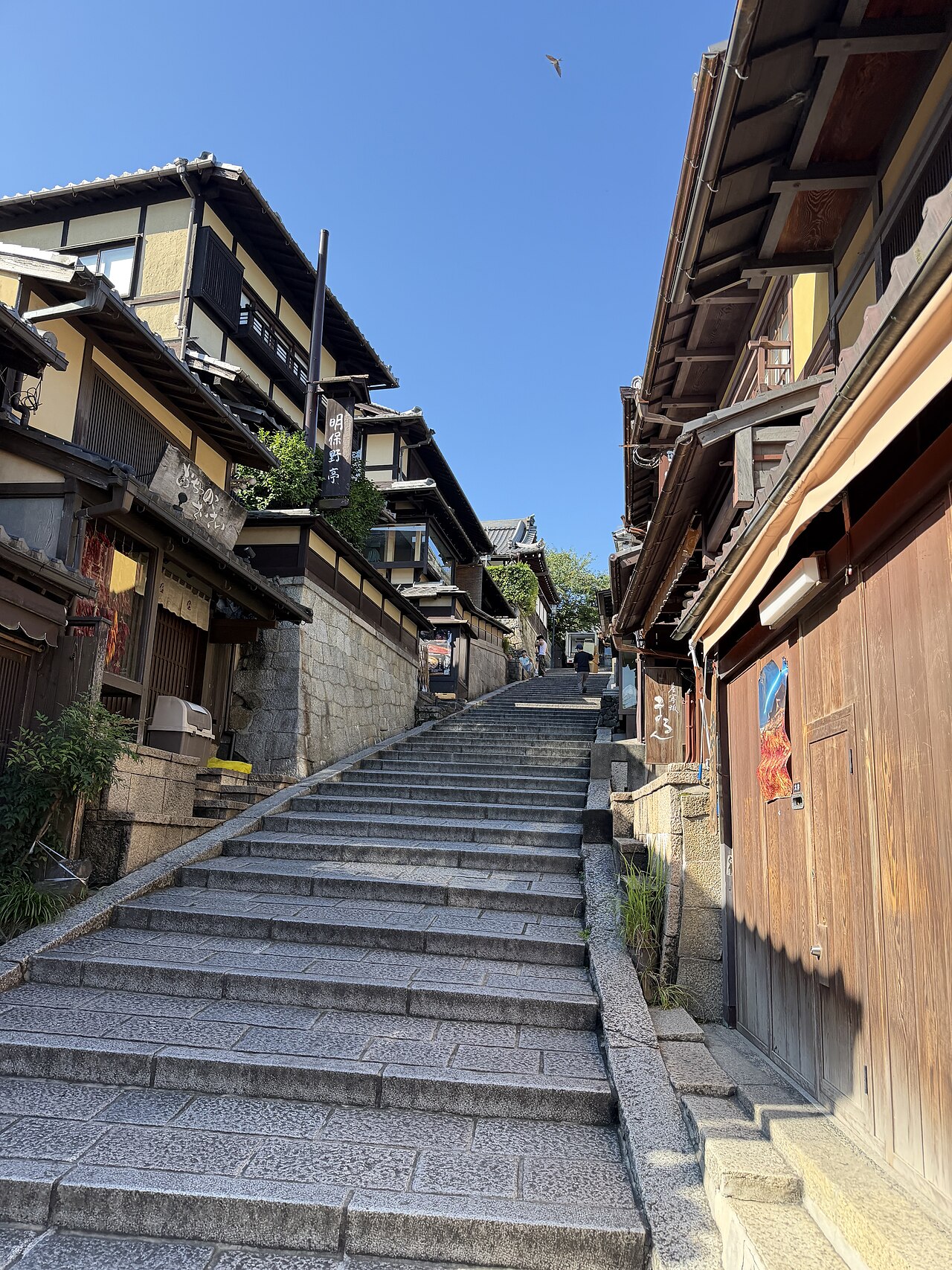
- Sannenzakathe stone stairway dropping north from the Kiyomizu-zaka approach, the steepest and most photographed stretch of the district
- Ninenzakathe bend of flagstone lane continuing from the foot of Sannenzaka, wider and gentler, lined with two-storey machiya
- Ishibe-kojia narrow stone-walled lane added to the preservation district in 1996, quieter than the main slopes and usually missed entirely
How to actually get there
- Kyoto Stn → Higashiyama-Yasui bus stop (Kyoto City Bus, ~20 min)
- Higashiyama-Yasui → foot of Ninenzaka (walk uphill, ~5 min)
- Kyoto City Bus + 5 min walk
- Kyoto Station bus terminal →(Kyoto City Bus toward Higashiyama, ~20 min)→ Higashiyama-Yasui stop → walk about 5 minutes southeast, uphill, and Ninenzaka begins on your right; Sannenzaka continues from its far end. Total about 25 minutes. Buses on this corridor are frequent but slow in the afternoon — allow extra time, or use the alternative below.
- Walk down to Gojo-zaka or Kiyomizu-michi and take the bus back
- Coming down the slopes brings you out at Kiyomizu-michi or Gojo-zaka, both bus stops back to Kyoto Station in about 20 minutes. Alternatively walk 15 minutes west to Kiyomizu-Gojo Station on the Keihan Line, which is quicker in the evening than the buses.
About the place
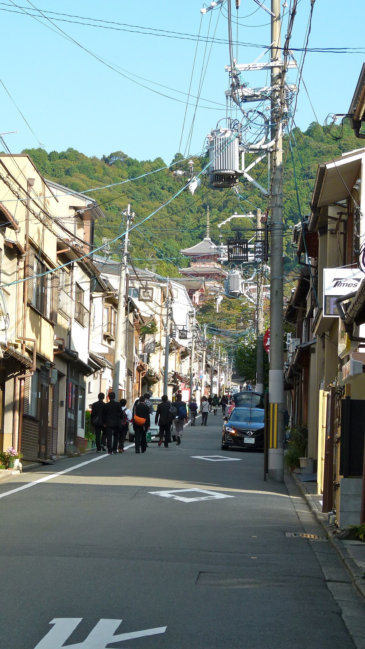
The hillside below Kiyomizu-dera has been settled since before Kyoto became the capital, and the town that grew there took its shape from the pilgrim routes. Sannenzaka — also read Sanneizaka — is the stone stairway dropping north from the Kiyomizu-zaka approach, and Ninenzaka continues from its foot as a bend of flagstone lane. The name is usually explained as a prayer road: people climbed it asking that a birth be yasuraka, peaceful, giving san-nei, 'safe delivery'. An older reading, sainen-zaka, competes with it. Along the way the lanes connect Kiyomizu-dera in the south with Hokanji — the Yasaka Pagoda that closes the view down the slope — and with Kodaiji, Maruyama Park and Yasaka Shrine to the north. The buildings that line them are townhouses from the end of the Edo period through the Taisho era, and the whole ensemble was designated a national Important Preservation District for Groups of Traditional Buildings in 1976.
How to enjoy it
Go before 08:00. The shops open around ten and the lanes fill from mid-morning, but at dawn the shutters are down and the machiya frontages, the roof tiles and the pagoda at the end of the slope are all visible as architecture rather than backdrop. Walk up from Ninenzaka to Sannenzaka, continue to Kiyomizu-dera — which opens at 06:00 — and come back down through Ishibe-koji and Kodaiji toward Gion. That loop takes about two hours at an unhurried pace and covers the whole preservation district, not just the two slopes everyone photographs.
Background & history
The Higashiyama slope was inhabited before Heian-kyo was founded, and its streets formed along the approaches to Yasaka Shrine and Kiyomizu-dera rather than on the capital's grid. The surviving townhouses date largely from the closing years of the Edo period through the Taisho era, and they stand alongside older religious architecture — the Yasaka Pagoda of Hokanji and the halls of Kodaiji — which is what gives the district its layered look. In 1976 about 5.3 hectares were designated the Sannenzaka Important Preservation District for Groups of Traditional Buildings; in 1996 the Ishibe-koji lane was added, expanding the protected area to roughly 8.2 hectares. A local superstition holds that a fall on Sannenzaka, read as 'three-year slope', brings death within three years — how the belief attached itself to the stairway is not established.
Before you go
- Cash
- The lanes are free to walk, at any hour. The shops are small and independent; carry some cash rather than relying on cards. Kiyomizu-dera at the top charges separate admission and opens at 06:00.
- Good to know
- This is a preservation district where people still live and work. The lanes are public; the doorways, courtyards and upper windows are not. Keep to the stone paths, and take care in rain — the steps are worn stone and slick.
- Another way
- Keihan Kiyomizu-Gojo Station is about a 15-minute uphill walk away and avoids the bus queues entirely. From Gion, you can also walk in from the north via Kodaiji in about 10 minutes.
- After you get off
- From Higashiyama-Yasui, head uphill (east) and bear south; the foot of Ninenzaka is about 5 minutes on. Gojo-zaka stop, also about 5 minutes away, puts you at the bottom of the Kiyomizu approach instead if you would rather climb from that side.
Nearby notes
 Basile Morin / CC BY-SA 4.0
History · Kyoto★★★
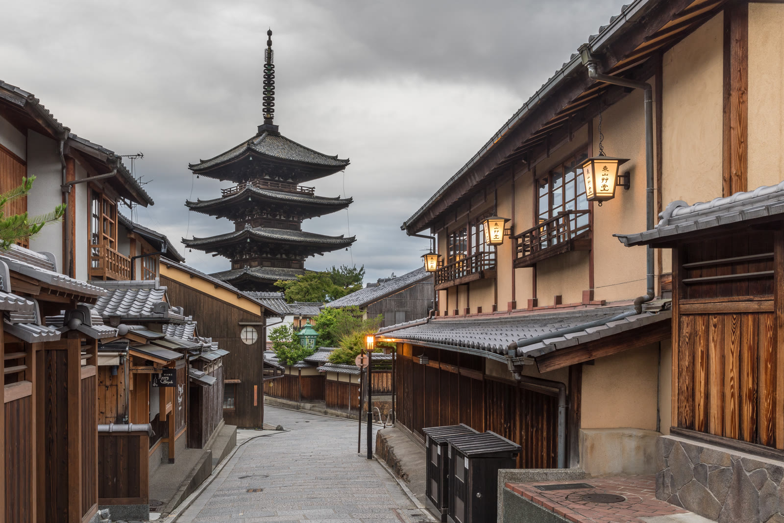
The Yasaka Pagoda
0.1 km · straight line
 Guilhem Vellut from Annecy, France / CC BY 2.0
History · Kyoto★
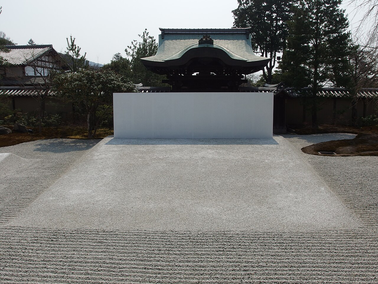
Kodai-ji
0.1 km · straight line
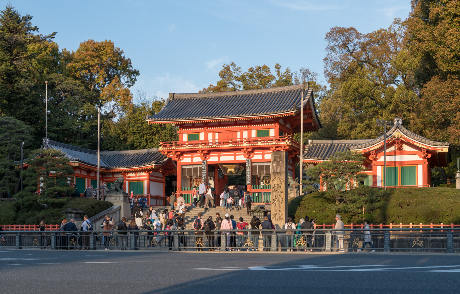 DXR / CC BY-SA 4.0
History · Kyoto★★★
Yasaka Shrine
0.6 km · straight line
 CoCreatr / CC BY-SA 2.0
History · Kyoto★★★
Kiyomizu-dera
0.6 km · straight line
Distances are straight lines on the map, not travel times.